Waitui Bay Area, Waitui Bay Postcode & Map in Waitui Bay
Waitui Bay Area, Waitui Bay Postcode & Map in Waitui Bay, Marlborough District, New Zealand
Waitui Bay, Marlborough District, New Zealand
Waitui Bay Area (estimated)
7.1 square kilometersWaitui Bay Population (estimated)
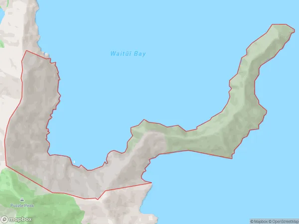
0 people live in Waitui Bay, Marlborough, NZWaitui Bay Suburb Area Map (Polygon)
Waitui Bay Introduction
Waitui Bay is a picturesque bay located in the Marlborough Sounds, Marlborough, New Zealand. It is known for its clear waters, stunning sunsets, and peaceful surroundings, making it a popular spot for swimming, kayaking, and fishing. The bay is surrounded by lush green hills and is home to a variety of wildlife, including seals, dolphins, and penguins. Visitors can also enjoy scenic walks and hikes along the bay's coastline, or take a boat tour to explore the surrounding islands and waterways.Region
0Suburb Name
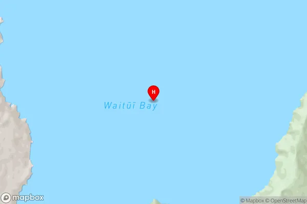
Waitui Bay (Maori Name: Waitūī Bay)Waitui Bay Area Map (Street)
Local Authority
Marlborough DistrictFull Address
Waitui Bay, Marlborough District, New ZealandAddress Type
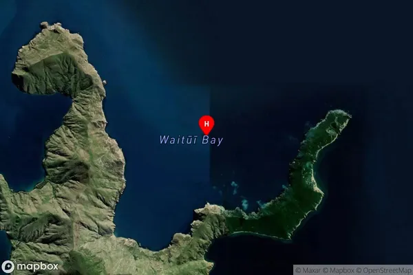
Locality in Major Locality Marlborough SoundsWaitui Bay Suburb Map (Satellite)
Country
Main Region in AU
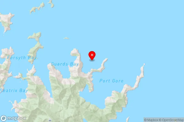
MarlboroughWaitui Bay Region Map
Coordinates
-40.989783,174.196211033317 (latitude/longitude)Distances
The distance from Waitui Bay, Marlborough Sounds, Marlborough District to NZ Top 10 Cities