Waitohi Area, Waitohi Postcode & Map in Waitohi
Waitohi Area, Waitohi Postcode & Map in Waitohi, Timaru District,
Waitohi, Timaru District,
Waitohi Area (estimated)
83.4 square kilometersWaitohi Population (estimated)
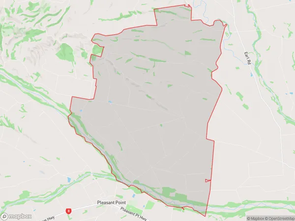
182 people live in Waitohi, Temuka, NZWaitohi Suburb Area Map (Polygon)
Waitohi Introduction
Waitohi is a small rural community located in the Temuka district of Canterbury, New Zealand. It is known for its picturesque rural scenery, friendly locals, and strong community spirit. The area is home to a number of historic buildings, including the Waitohi Hotel, which was built in the 1880s and is a popular spot for locals and tourists alike. Waitohi also has a primary school, a post office, and a small supermarket. The community is surrounded by farmland and is located close to the picturesque Rakaia Gorge, which is a popular spot for hiking and outdoor activities.Region
Major City
Suburb Name
WaitohiWaitohi Area Map (Street)
Local Authority
Timaru DistrictFull Address
Waitohi, Timaru District,Address Type
Locality in Town TemukaWaitohi Suburb Map (Satellite)
Country
Main Region in AU
CanterburyWaitohi Region Map
Coordinates
0,0 (latitude/longitude)Distances
The distance from Waitohi, Temuka, Timaru District to NZ Top 10 Cities