Waitata Area, Waitata Postcode & Map in Waitata
Waitata Area, Waitata Postcode & Map in Waitata, Marlborough District,
Waitata, Marlborough District,
Waitata Area (estimated)
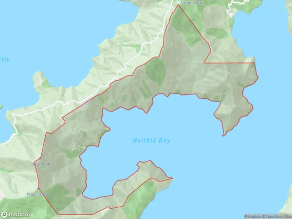
13.2 square kilometersWaitata Population (estimated)
5 people live in Waitata, , NZWaitata Suburb Area Map (Polygon)
Waitata Introduction
Waitata is a small bay and settlement in the Marlborough Sounds, New Zealand. It is known for its stunning natural beauty, including lush forests, crystal-clear waters, and picturesque beaches. The bay is a popular spot for boating, fishing, and kayaking, and there are several walking trails and campgrounds in the area. Waitata also has a small population of residents who live in charming cottages and enjoy the peaceful and relaxed lifestyle of the area.0Suburb Name
WaitataOther Name(s)
Bulwer Waihinau BayWaitata Area Map (Street)
Local Authority
Marlborough DistrictFull Address
Waitata, Marlborough District,Address Type
Locality in Major Locality Marlborough SoundsWaitata Suburb Map (Satellite)
Country
Main Region in AU
Waitata Region Map
Coordinates
0,0 (latitude/longitude)Distances
The distance from Waitata, Marlborough Sounds, Marlborough District to NZ Top 10 Cities