Waitaria Bay Area, Waitaria Bay Postcode & Map in Waitaria Bay
Waitaria Bay Area, Waitaria Bay Postcode & Map in Waitaria Bay, Marlborough District, New Zealand
Waitaria Bay, Marlborough District, New Zealand
Waitaria Bay Area (estimated)
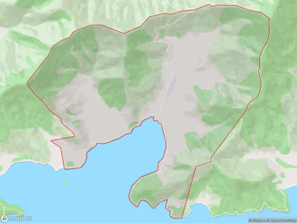
18.1 square kilometersWaitaria Bay Population (estimated)
17 people live in Waitaria Bay, Marlborough, NZWaitaria Bay Suburb Area Map (Polygon)
Waitaria Bay Introduction
Waitaria Bay is a picturesque bay located in the Marlborough Sounds, Marlborough, New Zealand. It is known for its clear waters, stunning coastal scenery, and diverse marine life. The bay is a popular spot for swimming, kayaking, and fishing, and it is also home to a small community of residents. The bay is surrounded by lush green hills and is a protected area, making it a great place to enjoy nature and relax.Region
0Suburb Name
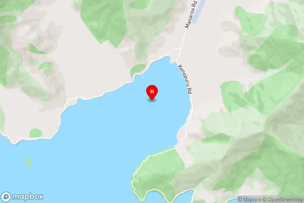
Waitaria BayWaitaria Bay Area Map (Street)
Local Authority
Marlborough DistrictFull Address
Waitaria Bay, Marlborough District, New ZealandAddress Type
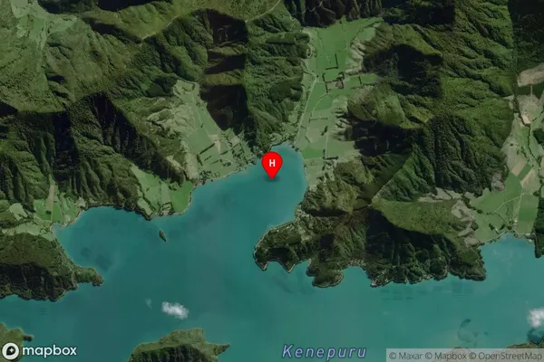
Locality in Major Locality Marlborough SoundsWaitaria Bay Suburb Map (Satellite)
Country
Main Region in AU
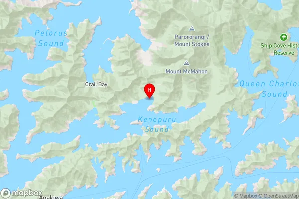
MarlboroughWaitaria Bay Region Map
Coordinates
-41.1637338,174.0436064 (latitude/longitude)Distances
The distance from Waitaria Bay, Marlborough Sounds, Marlborough District to NZ Top 10 Cities