Waitangirua Area, Waitangirua Postcode(5024) & Map in Waitangirua
Waitangirua Area, Waitangirua Postcode(5024) & Map in Waitangirua, Porirua City, New Zealand
Waitangirua, Porirua City, New Zealand
Waitangirua Postcodes
Waitangirua Area (estimated)
7.2 square kilometersWaitangirua Population (estimated)
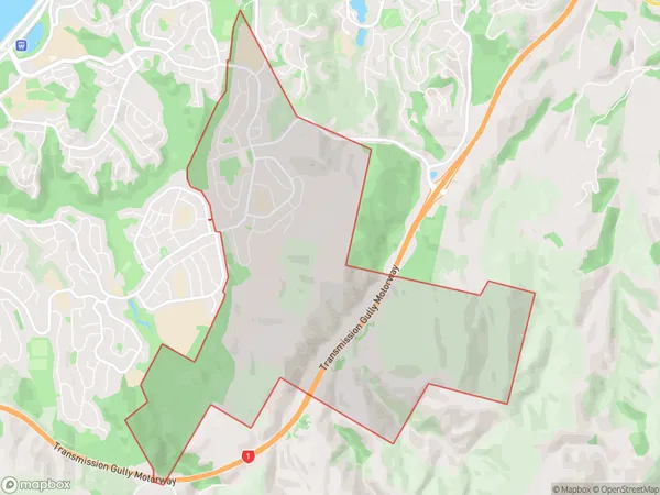
4650 people live in Waitangirua, Porirua, NZWaitangirua Suburb Area Map (Polygon)
Waitangirua Introduction
Waitangirua is a suburb of Porirua City in Wellington, New Zealand. It is located on the northern shore of the Porirua Harbour and is known for its scenic views, outdoor activities, and vibrant community. The area has a population of around 60,000 people and is home to a number of popular attractions, including the Waitangirua Forest Park, the Te Papa Museum, and the Kaiapoi Reserve.Region
Major City
Suburb Name
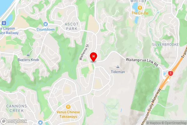
WaitangiruaWaitangirua Area Map (Street)
Local Authority
Porirua CityFull Address
Waitangirua, Porirua City, New ZealandAddress Type
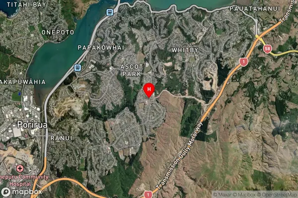
Suburb in City PoriruaWaitangirua Suburb Map (Satellite)
Country
Main Region in AU
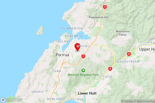
WellingtonWaitangirua Region Map
Coordinates
-41.1287216,174.8801613 (latitude/longitude)Distances
The distance from Waitangirua, Porirua, Porirua City to NZ Top 10 Cities