Burwood Area, Burwood Postcode(8061) & Map in Burwood
Burwood Area, Burwood Postcode(8061) & Map in Burwood, Christchurch City, New Zealand
Burwood, Christchurch City, New Zealand
Burwood Area (estimated)
7.1 square kilometersBurwood Population (estimated)
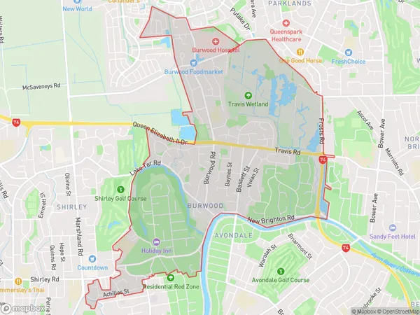
6571 people live in Burwood, Coastal-Burwood Community, NZBurwood Suburb Area Map (Polygon)
Burwood Introduction
Burwood is a suburb of Christchurch, New Zealand, located 7 kilometers west of the city center. It is known for its large population and diverse community, with a mix of residential, commercial, and industrial areas. The suburb has a number of parks and recreational facilities, including the Burwood Park and the Burwood Library. It is also home to the Burwood Hospital and several educational institutions, including the University of Canterbury and the Christchurch Polytechnic Institute of Technology.Region
Major City
Suburb Name
BurwoodOther Name(s)
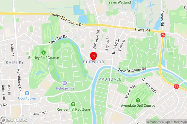
North Beach, QueensparkBurwood Area Map (Street)
Local Authority
Christchurch CityFull Address
Burwood, Christchurch City, New ZealandAddress Type
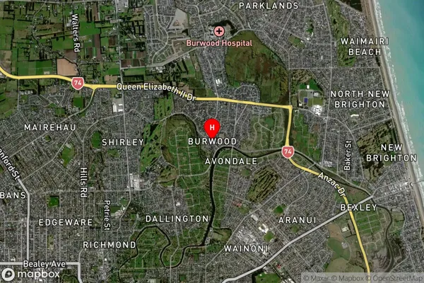
Suburb in City ChristchurchBurwood Suburb Map (Satellite)
Country
Main Region in AU
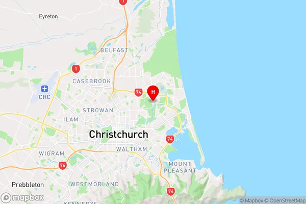
CanterburyBurwood Region Map
Coordinates
-43.4994151,172.682828 (latitude/longitude)Distances
The distance from Burwood, Christchurch, Christchurch City to NZ Top 10 Cities