Waiotira Area, Waiotira Postcode(0193) & Map in Waiotira
Waiotira Area, Waiotira Postcode(0193) & Map in Waiotira, Whangarei District, New Zealand
Waiotira, Whangarei District, New Zealand
Waiotira Postcodes
Waiotira Area (estimated)
187.4 square kilometersWaiotira Population (estimated)
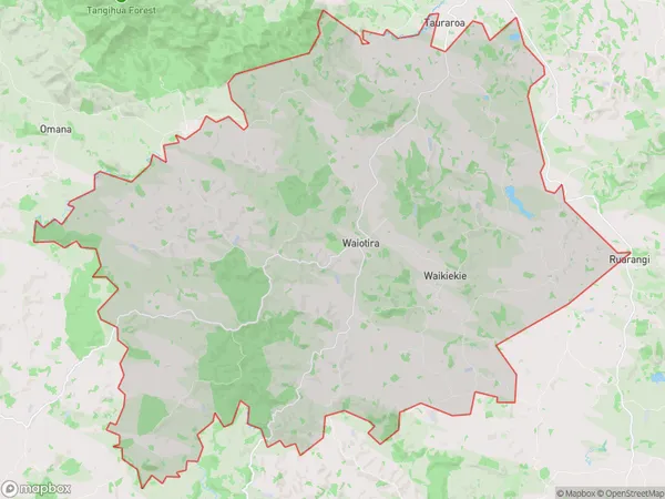
444 people live in Waiotira, Northland, NZWaiotira Suburb Area Map (Polygon)
Waiotira Introduction
Waiotira is a small town in Northland, New Zealand, known for its hot springs, natural beauty, and Maori culture. It is located on the southern coast of the North Island and is surrounded by lush forests and rolling hills. The town has a population of around 1,000 people and is a popular tourist destination. Waiotira is also home to a number of important historical sites, including the Waiotira Mission Station, which was established in 1839 by the Mori people.Region
Major City
Suburb Name
WaiotiraOther Name(s)
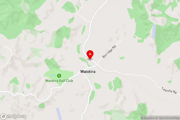
Moewhare, Parahaka, Pikiwahine, Ruarangi, WaikiekieWaiotira Area Map (Street)
Local Authority
Whangarei DistrictFull Address
Waiotira, Whangarei District, New ZealandAddress Type
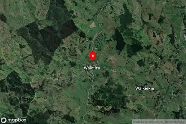
Locality in Major Locality WaiotiraWaiotira Suburb Map (Satellite)
Country
Main Region in AU
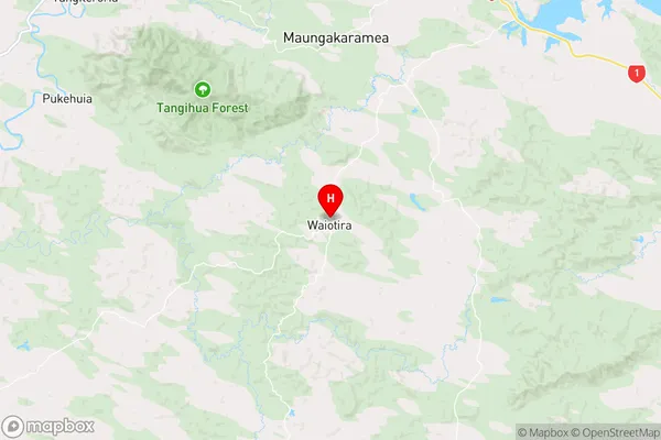
NorthlandWaiotira Region Map
Coordinates
-35.9345572,174.2000723 (latitude/longitude)Distances
The distance from Waiotira, Waiotira, Whangarei District to NZ Top 10 Cities