Waiotahe Valley Area, Waiotahe Valley Postcode(3122) & Map in Waiotahe Valley
Waiotahe Valley Area, Waiotahe Valley Postcode(3122) & Map in Waiotahe Valley, Opotiki District, New Zealand
Waiotahe Valley, Opotiki District, New Zealand
Waiotahe Valley Postcodes
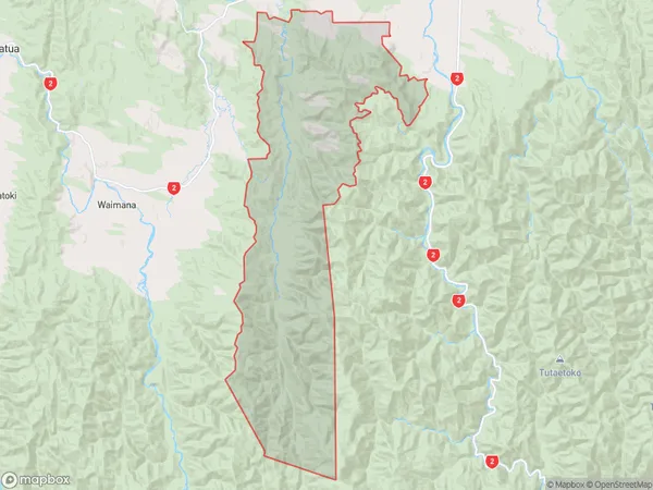
Waiotahe Valley Area (estimated)
159.3 square kilometersWaiotahe Valley Population (estimated)
95 people live in Waiotahe Valley, Bay of Plenty, NZWaiotahe Valley Suburb Area Map (Polygon)
Waiotahe Valley Introduction
Waiotahe Valley is a picturesque rural area located in the Bay of Plenty, New Zealand. It is known for its stunning natural scenery, including lush green forests, waterfalls, and a picturesque river. The valley is a popular destination for outdoor activities such as hiking, mountain biking, and fishing, and is home to a variety of native birds and animals. The area has a rich history and was once home to a thriving Maori community.Region
0Suburb Name
Waiotahe ValleyOther Name(s)
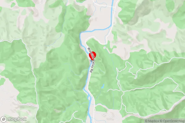
Waiotahi ValleyWaiotahe Valley Area Map (Street)
Local Authority
Opotiki District (Maori Name: Ōpōtiki District)Full Address
Waiotahe Valley, Opotiki District, New ZealandAddress Type
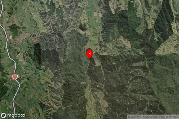
Locality in Major Locality Waiotahe ValleyWaiotahe Valley Suburb Map (Satellite)
Country
Main Region in AU
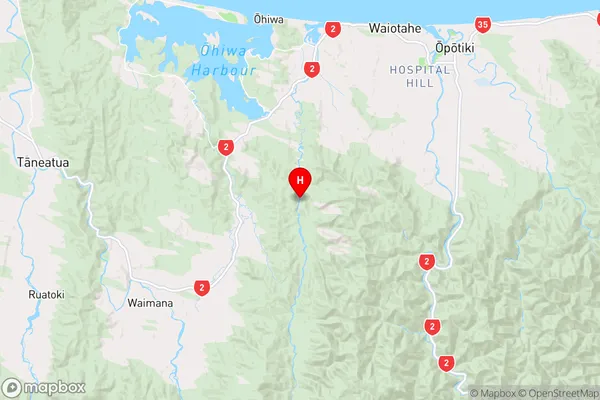
Bay of PlentyWaiotahe Valley Region Map
Coordinates
-38.0864894,177.1808481 (latitude/longitude)Distances
The distance from Waiotahe Valley, Waiotahe Valley, Opotiki District to NZ Top 10 Cities