Waione Area, Waione Postcode(4979) & Map in Waione
Waione Area, Waione Postcode(4979) & Map in Waione, Tararua District, New Zealand
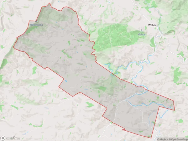
Waione, Tararua District, New Zealand
Waione Area (estimated)
89.5 square kilometersWaione Population (estimated)
55 people live in Waione, Manawatu-Wanganui, NZWaione Suburb Area Map (Polygon)
Waione Introduction
Waione is a small rural community in the Manawatu-Wanganui region of New Zealand. It is located on State Highway 3, approximately 15 km south of Palmerston North and 50 km north of Wanganui. The community has a population of around 100 people and is known for its scenic rural surroundings and peaceful atmosphere. The area is popular with outdoor enthusiasts, with numerous hiking and cycling trails nearby. Waione also has a small primary school and a community hall.Region
0Suburb Name
WaioneOther Name(s)
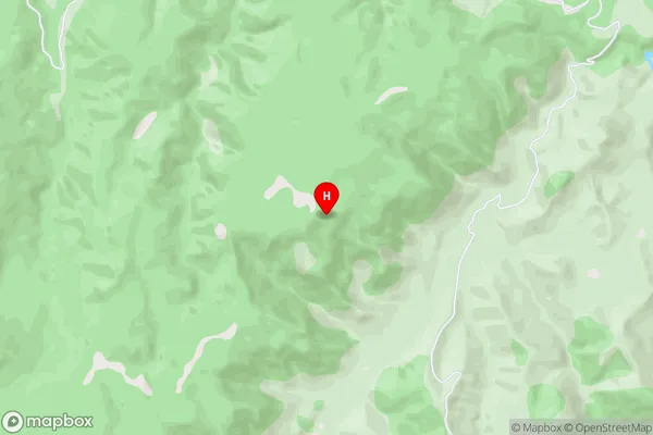
Horoeka, WaimiroWaione Area Map (Street)
Local Authority
Tararua DistrictFull Address
Waione, Tararua District, New ZealandAddress Type
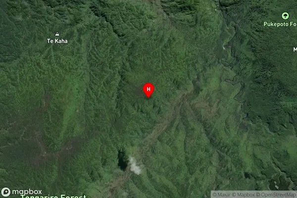
Locality in Major Locality WeberWaione Suburb Map (Satellite)
Country
Main Region in AU
Manawatu-WanganuiWaione Region Map

Coordinates
-39.002056,175.483415 (latitude/longitude)Distances
The distance from Waione, Weber, Tararua District to NZ Top 10 Cities