Wainoni Area, Wainoni Postcode(8061) & Map in Wainoni
Wainoni Area, Wainoni Postcode(8061) & Map in Wainoni, Christchurch City, New Zealand
Wainoni, Christchurch City, New Zealand
Wainoni Postcodes
Wainoni Area (estimated)
1.7 square kilometersWainoni Population (estimated)
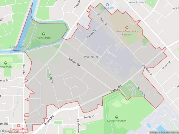
2395 people live in Wainoni, Coastal-Burwood Community, NZWainoni Suburb Area Map (Polygon)
Wainoni Introduction
Wainoni is a suburb of Christchurch, New Zealand, located on the city's eastern coast. It is known for its beachfront properties, stunning views of the Pacific Ocean, and vibrant community. The suburb has a population of around 3,000 people and is home to a variety of shops, restaurants, and recreational facilities. Wainoni Beach is a popular spot for swimming, sunbathing, and fishing, and the Wainoni Reserve offers a range of walking and hiking trails.Region
Major City
Suburb Name
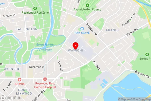
WainoniWainoni Area Map (Street)
Local Authority
Christchurch CityFull Address
Wainoni, Christchurch City, New ZealandAddress Type
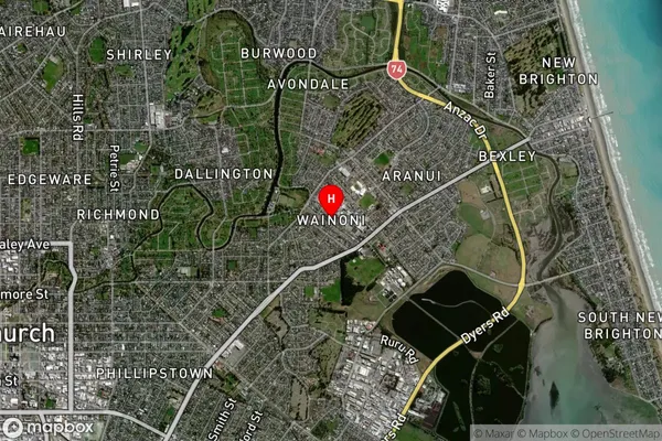
Suburb in City ChristchurchWainoni Suburb Map (Satellite)
Country
Main Region in AU
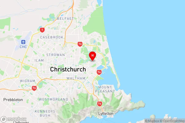
CanterburyWainoni Region Map
Coordinates
-43.5182805,172.6910292 (latitude/longitude)Distances
The distance from Wainoni, Christchurch, Christchurch City to NZ Top 10 Cities