Burnside Area, Burnside Postcode(8053) & Map in Burnside
Burnside Area, Burnside Postcode(8053) & Map in Burnside, Christchurch City, New Zealand
Burnside, Christchurch City, New Zealand
Burnside Area (estimated)
6.3 square kilometersBurnside Population (estimated)
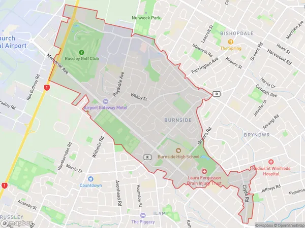
8783 people live in Burnside, Christchurch, NZBurnside Suburb Area Map (Polygon)
Burnside Introduction
Burnside is a suburb of Christchurch, New Zealand, located in the eastern part of the city. It is known for its large residential areas, shopping malls, and recreational facilities, including the Burnside Park and Aquatic Centre. The suburb has a diverse population and is home to many different ethnic and cultural groups.Region
Major City
Suburb Name
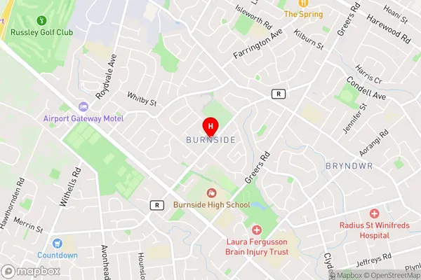
BurnsideBurnside Area Map (Street)
Local Authority
Christchurch CityFull Address
Burnside, Christchurch City, New ZealandAddress Type
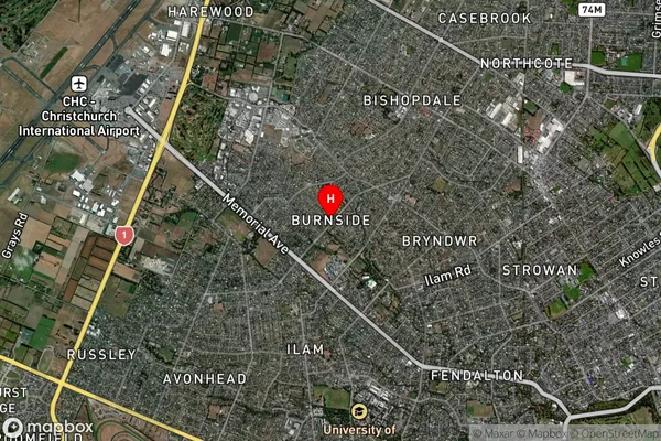
Suburb in City ChristchurchBurnside Suburb Map (Satellite)
Country
Main Region in AU
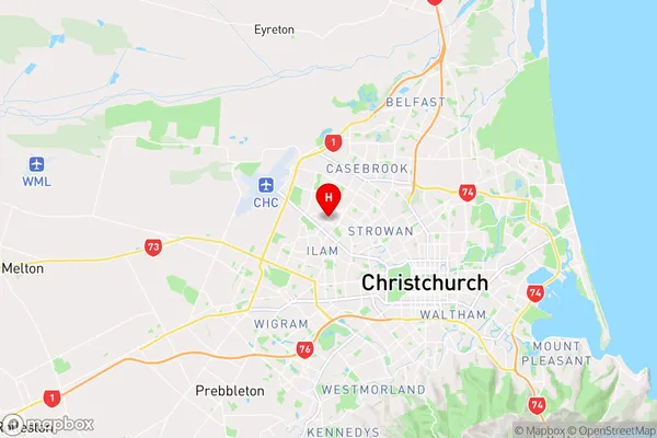
CanterburyBurnside Region Map
Coordinates
-43.5019888,172.5760085 (latitude/longitude)Distances
The distance from Burnside, Christchurch, Christchurch City to NZ Top 10 Cities