Waimate Area, Waimate Postcode(7924) & Map in Waimate
Waimate Area, Waimate Postcode(7924) & Map in Waimate, Waimate District, New Zealand
Waimate, Waimate District, New Zealand
Waimate Area (estimated)
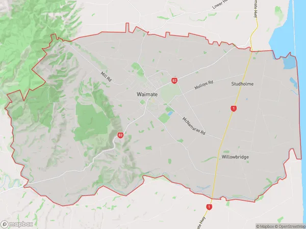
220.0 square kilometersWaimate Population (estimated)
4503 people live in Waimate, Canterbury, NZWaimate Suburb Area Map (Polygon)
Waimate Introduction
Waimate is a town in the Canterbury region of New Zealand, known for its cheese-making industry and as the birthplace of poet Janet Frame. It is located on the Waimate River, 35 km south of Timaru.Region
Major City
Suburb Name
WaimateOther Name(s)
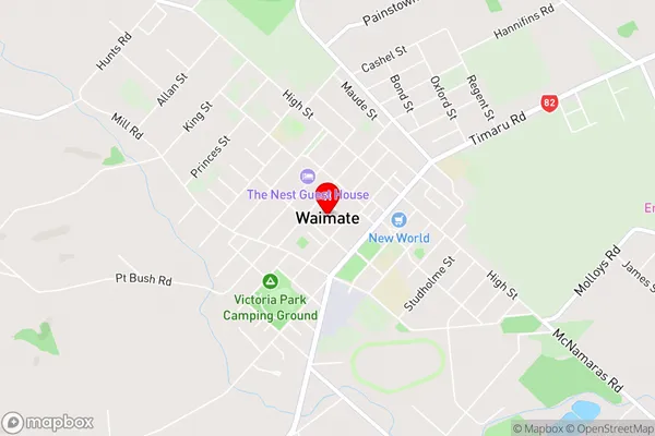
Arno, Kapua, Maytown, Norton Reserve, Nukuroa, Studholme, Studholme Junction, Te Waimate, Uretane, Waituna, WillowbridgeWaimate Area Map (Street)
Local Authority
Waimate DistrictFull Address
Waimate, Waimate District, New ZealandAddress Type
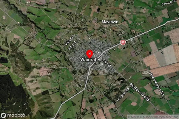
Suburb in Town WaimateWaimate Suburb Map (Satellite)
Country
Main Region in AU
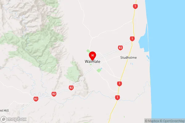
CanterburyWaimate Region Map
Coordinates
-44.7338811,171.042339 (latitude/longitude)Distances
The distance from Waimate, Waimate, Waimate District to NZ Top 10 Cities