Waimana Area, Waimana Postcode(3196) & Map in Waimana
Waimana Area, Waimana Postcode(3196) & Map in Waimana, Whakatane District, New Zealand
Waimana, Whakatane District, New Zealand
Waimana Area (estimated)
91.2 square kilometersWaimana Population (estimated)
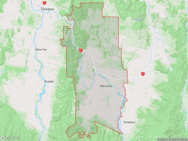
544 people live in Waimana, Bay of Plenty, NZWaimana Suburb Area Map (Polygon)
Waimana Introduction
Waimana is a small rural town in the Bay of Plenty, New Zealand. It is known for its beautiful beaches, lush green forests, and warm climate. The town has a population of around 1,000 people and is located on the western coast of the Bay of Plenty, about 20 minutes' drive from Tauranga. Waimana has a variety of shops and services, including a supermarket, a pharmacy, a post office, and several cafes and restaurants. The town also has a community hall and a library. The surrounding area is popular for outdoor activities such as hiking, fishing, and surfing.Region
Major City
Suburb Name
WaimanaOther Name(s)
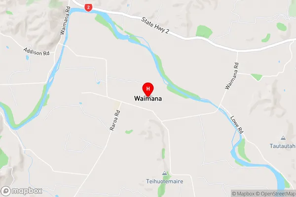
WaiouWaimana Area Map (Street)
Local Authority
Whakatane DistrictFull Address
Waimana, Whakatane District, New ZealandAddress Type
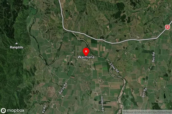
Locality in Major Locality WaimanaWaimana Suburb Map (Satellite)
Country
Main Region in AU
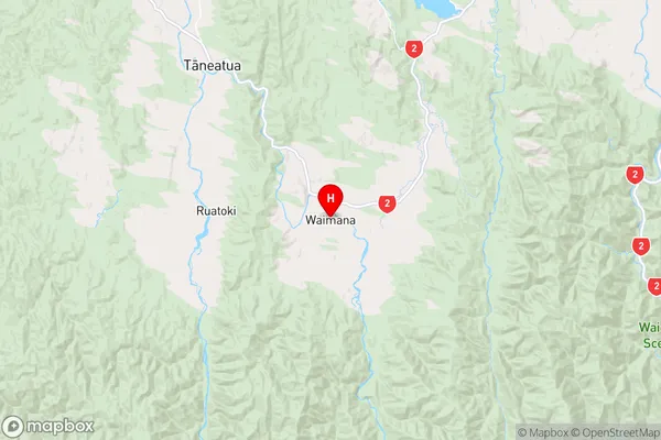
Bay of PlentyWaimana Region Map
Coordinates
-38.1421005,177.078023 (latitude/longitude)Distances
The distance from Waimana, Waimana, Whakatane District to NZ Top 10 Cities