Burnside Area, Burnside Postcode(9018) & Map in Burnside
Burnside Area, Burnside Postcode(9018) & Map in Burnside, Dunedin City, New Zealand
Burnside, Dunedin City, New Zealand
Burnside Postcodes
Burnside Area (estimated)
1.1 square kilometersBurnside Population (estimated)
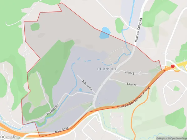
113 people live in Burnside, Dunedin, NZBurnside Suburb Area Map (Polygon)
Burnside Introduction
Burnside is a suburb of Dunedin, New Zealand, located on the city's eastern side. It is known for its historic buildings, including the Burnside Hotel and the Burnside Cemetery. The suburb has a strong community spirit and is home to a variety of shops, cafes, and recreational facilities.Region
Major City
Suburb Name
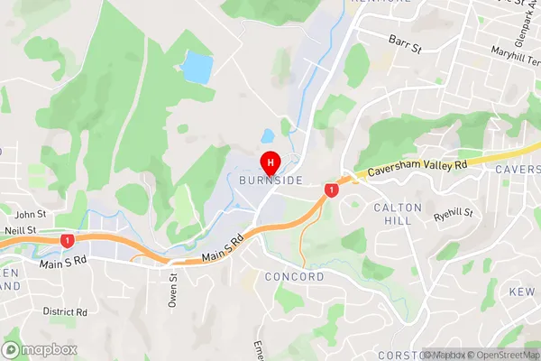
BurnsideBurnside Area Map (Street)
Local Authority
Dunedin CityFull Address
Burnside, Dunedin City, New ZealandAddress Type
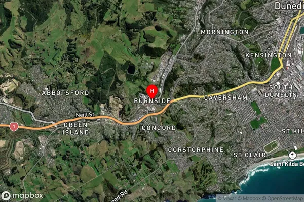
Suburb in City DunedinBurnside Suburb Map (Satellite)
Country
Main Region in AU
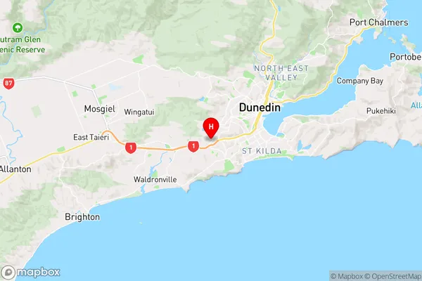
OtagoBurnside Region Map
Coordinates
-45.8966297,170.456088 (latitude/longitude)Distances
The distance from Burnside, Dunedin, Dunedin City to NZ Top 10 Cities