Alfriston Area, Alfriston Postcode(2576) & Map in Alfriston
Alfriston Area, Alfriston Postcode(2576) & Map in Alfriston, Auckland, New Zealand
Alfriston, Auckland, New Zealand
Alfriston Area (estimated)
6.8 square kilometersAlfriston Population (estimated)
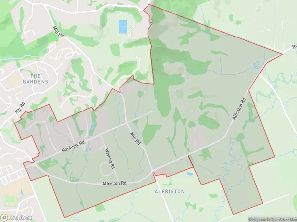
713 people live in Alfriston, Franklin, NZAlfriston Suburb Area Map (Polygon)
Alfriston Introduction
Alfriston is a suburb of Auckland, New Zealand, with a population of around 10,000 people. It is known for its historic homes, leafy streets, and vibrant community. The suburb is located in the Eastern Suburbs of Auckland and is bordered by Remuera, Newmarket, and Eden Park. It is well-connected to the city center by public transport, with several bus routes and the Auckland Train Station nearby. Alfriston also has a variety of shops, cafes, and restaurants, as well as a community center and library.Region
Major City
Suburb Name
AlfristonOther Name(s)
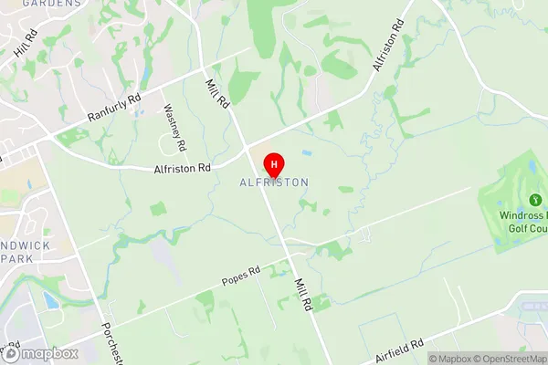
WairereAlfriston Area Map (Street)
Local Authority
AucklandFull Address
Alfriston, Auckland, New ZealandAddress Type
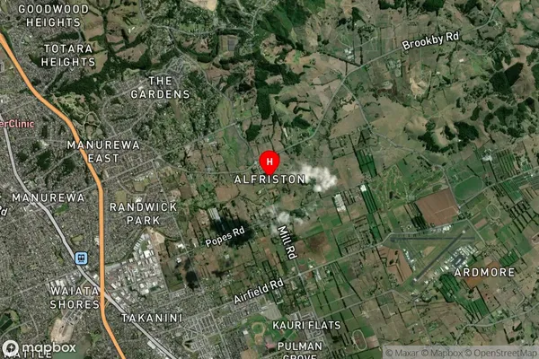
Suburb in City AucklandAlfriston Suburb Map (Satellite)
Country
Main Region in AU
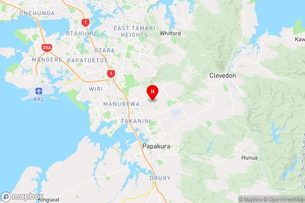
AucklandAlfriston Region Map
Coordinates
-37.0191623,174.9420664 (latitude/longitude)Distances
The distance from Alfriston, Auckland, Auckland to NZ Top 10 Cities