Waikawau Area, Waikawau Postcode & Map in Waikawau
Waikawau Area, Waikawau Postcode & Map in Waikawau, Waitomo District, New Zealand
Waikawau, Waitomo District, New Zealand
Waikawau Area (estimated)
411.8 square kilometersWaikawau Population (estimated)
35 people live in Waikawau, Waikato, NZWaikawau Suburb Area Map (Polygon)
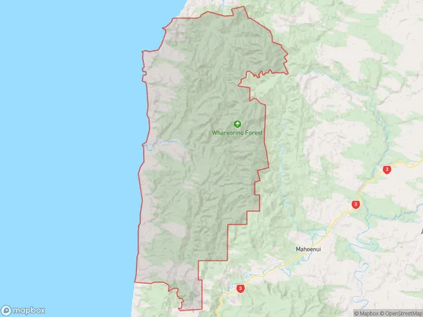
Waikawau Introduction
Waikawau is a small rural town located in the Piopio district of Waikato, New Zealand. It is known for its beautiful natural surroundings, including the Waikawau River and the Waikawau Forest. The town has a population of around 1,000 people and is a popular destination for outdoor enthusiasts, with many hiking and biking trails nearby. The town also has a historic church and a small community center.Region
Major City
Suburb Name
WaikawauOther Name(s)
MoeatoaWaikawau Area Map (Street)
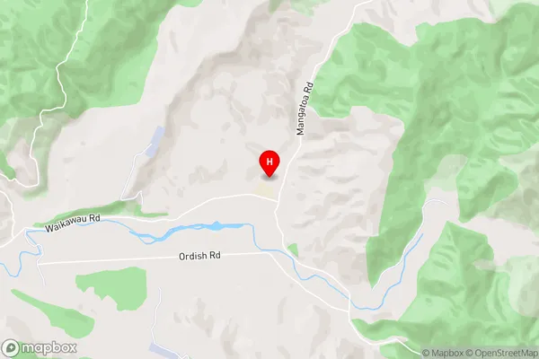
Local Authority
Waitomo DistrictFull Address
Waikawau, Waitomo District, New ZealandAddress Type
Locality in Town PiopioWaikawau Suburb Map (Satellite)
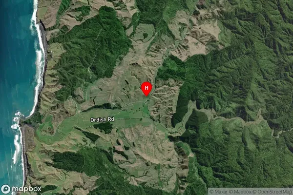
Country
Main Region in AU
WaikatoWaikawau Region Map
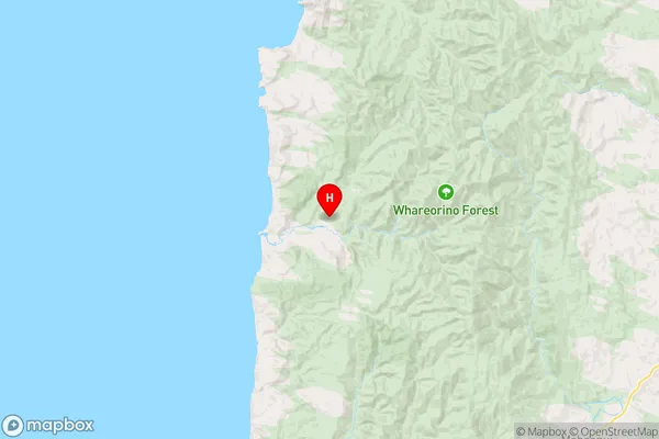
Coordinates
-38.4707172,174.679798 (latitude/longitude)Distances
The distance from Waikawau, Piopio, Waitomo District to NZ Top 10 Cities