Burnham Area, Burnham Postcode(7600) & Map in Burnham
Burnham Area, Burnham Postcode(7600) & Map in Burnham, Selwyn District, New Zealand
Burnham, Selwyn District, New Zealand
Burnham Postcodes
Burnham Area (estimated)
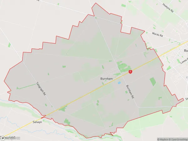
109.8 square kilometersBurnham Population (estimated)
2592 people live in Burnham, Canterbury, NZBurnham Suburb Area Map (Polygon)
Burnham Introduction
Burnham is a small town in Canterbury, New Zealand, located on the banks of the Ashley River. It is known for its historic buildings, including the Burnham Hotel, which was built in 1877. The town has a population of around 3,000 people and is a popular tourist destination, particularly for its scenic surroundings and outdoor activities such as hiking and fishing.Region
0Suburb Name
BurnhamOther Name(s)
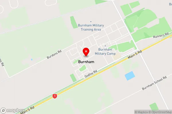
NorwoodBurnham Area Map (Street)
Local Authority
Selwyn DistrictFull Address
Burnham, Selwyn District, New ZealandAddress Type
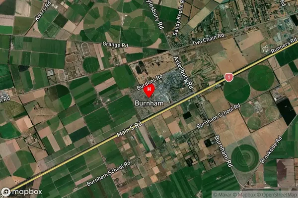
Suburb in Town BurnhamBurnham Suburb Map (Satellite)
Country
Main Region in AU
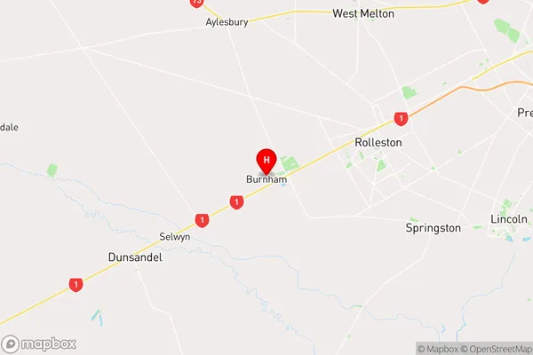
CanterburyBurnham Region Map
Coordinates
-43.61636,172.29863 (latitude/longitude)Distances
The distance from Burnham, Burnham, Selwyn District to NZ Top 10 Cities