Bunnythorpe Area, Bunnythorpe Postcode(4481) & Map in Bunnythorpe, Manawatu District
Bunnythorpe Area, Bunnythorpe Postcode(4481) & Map in Bunnythorpe, Manawatu District, Palmerston North City, New Zealand
Bunnythorpe, Manawatu District, Palmerston North City, New Zealand
Bunnythorpe Area (estimated)
113.2 square kilometersBunnythorpe Population (estimated)
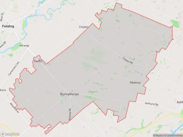
2001 people live in Bunnythorpe, Palmerston North, NZBunnythorpe Suburb Area Map (Polygon)
Bunnythorpe Introduction
Bunnythorpe is a small rural community located in the Manawatu-Wanganui region of New Zealand. It is known for its picturesque countryside, friendly locals, and rural lifestyle. The area is popular with outdoor enthusiasts, with many walking and cycling trails nearby. The community also has a primary school, a post office, and a small supermarket.Region
Major City
Suburb Name
BunnythorpeOther Name(s)
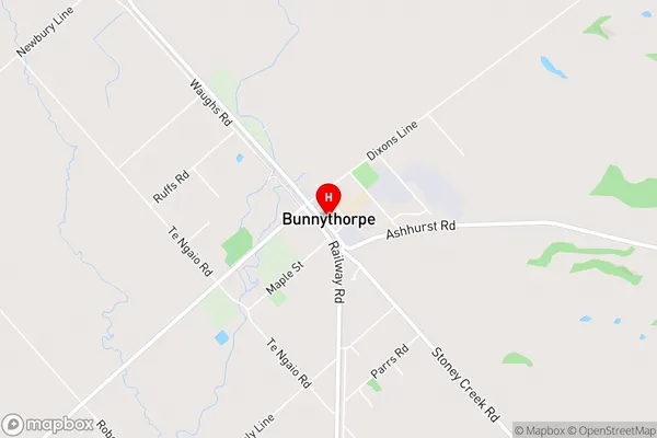
Hiwinui, TaonuiBunnythorpe Area Map (Street)
Local Authority
Manawatu District, Palmerston North CityFull Address
Bunnythorpe, Manawatu District, Palmerston North City, New ZealandAddress Type
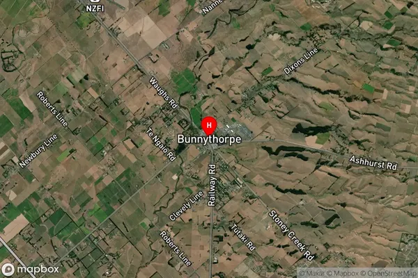
Locality in City Palmerston NorthBunnythorpe Suburb Map (Satellite)
Country
Main Region in AU
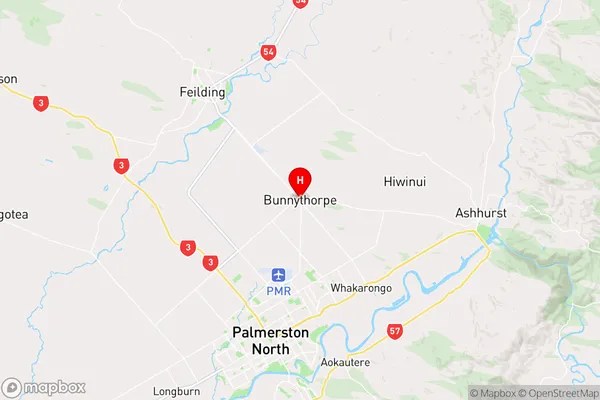
Manawatu-WanganuiBunnythorpe Region Map
Coordinates
-40.2825904,175.631499 (latitude/longitude)Distances
The distance from Bunnythorpe, Palmerston North, Manawatu District, Palmerston North City to NZ Top 10 Cities