Waihoaka Area, Waihoaka Postcode & Map in Waihoaka
Waihoaka Area, Waihoaka Postcode & Map in Waihoaka, Southland District, New Zealand
Waihoaka, Southland District, New Zealand
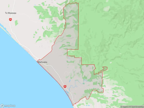
Waihoaka Area (estimated)
26.3 square kilometersWaihoaka Population (estimated)
23 people live in Waihoaka, Tuatapere Te Waewae Community, NZWaihoaka Suburb Area Map (Polygon)
Waihoaka Introduction
Waihoaka is a small rural community in Southland, New Zealand. It is located on the banks of the Waihoaka River, and is known for its scenic beauty and peaceful atmosphere. The community has a primary school, a post office, and a small supermarket. Waihoaka is a popular destination for outdoor enthusiasts, with many walking and hiking tracks in the surrounding area. The community also hosts a annual music festival, which attracts visitors from around the region.Region
0Suburb Name
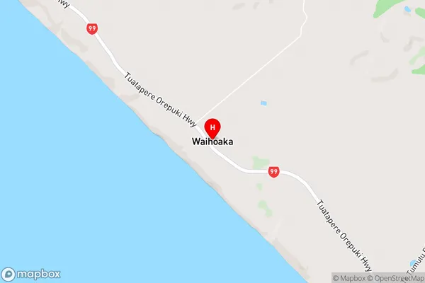
WaihoakaWaihoaka Area Map (Street)
Local Authority
Southland DistrictFull Address
Waihoaka, Southland District, New ZealandAddress Type
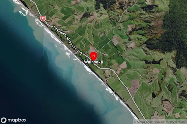
Locality in Town Riverton/AparimaWaihoaka Suburb Map (Satellite)
Country
Main Region in AU
SouthlandWaihoaka Region Map

Coordinates
-46.24165,167.69372 (latitude/longitude)Distances
The distance from Waihoaka, Riverton/Aparima, Southland District to NZ Top 10 Cities