Waihao Downs Area, Waihao Downs Postcode(7979) & Map in Waihao Downs
Waihao Downs Area, Waihao Downs Postcode(7979) & Map in Waihao Downs, Waimate District, New Zealand
Waihao Downs, Waimate District, New Zealand
Waihao Downs Postcodes
Waihao Downs Area (estimated)
49.4 square kilometersWaihao Downs Population (estimated)
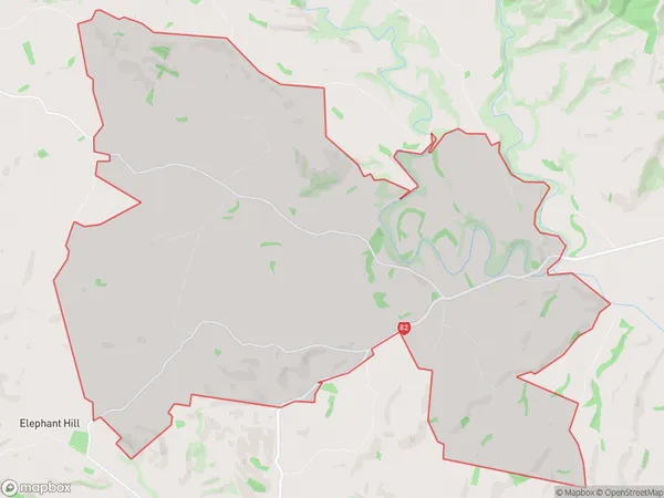
101 people live in Waihao Downs, Canterbury, NZWaihao Downs Suburb Area Map (Polygon)
Waihao Downs Introduction
Waihao Downs is a farm located in Waimate, Canterbury, New Zealand. It is owned by the Waihao Downs Trust and operated by the Waihao Downs Farming Company Limited. The farm covers an area of 1,200 hectares and is home to a herd of 10,000 sheep. The farm has a modern sheep handling facility, which includes a sheep crush, wool shed, and loading ramp. The wool from the sheep is sold to textile companies around the world, and the meat from the sheep is sold to supermarkets and restaurants in New Zealand. Waihao Downs is also home to a variety of other animals, including cattle, horses, and goats. The farm has a strong commitment to environmental sustainability, and has implemented a number of initiatives to reduce its carbon footprint and improve its soil quality.Region
Major City
Suburb Name
Waihao DownsOther Name(s)
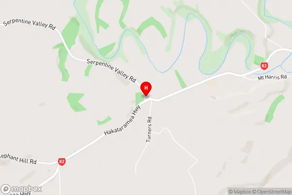
Douglas, Waihao ForksWaihao Downs Area Map (Street)
Local Authority
Waimate DistrictFull Address
Waihao Downs, Waimate District, New ZealandAddress Type
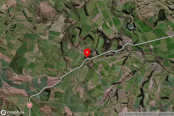
Locality in Town WaimateWaihao Downs Suburb Map (Satellite)
Country
Main Region in AU
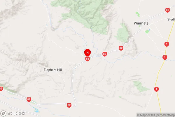
CanterburyWaihao Downs Region Map
Coordinates
-44.7927845,170.916152 (latitude/longitude)Distances
The distance from Waihao Downs, Waimate, Waimate District to NZ Top 10 Cities