Waihakeke Area, Waihakeke Postcode & Map in Waihakeke
Waihakeke Area, Waihakeke Postcode & Map in Waihakeke, Carterton District,
Waihakeke, Carterton District,
Waihakeke Area (estimated)
8.8 square kilometersWaihakeke Population (estimated)
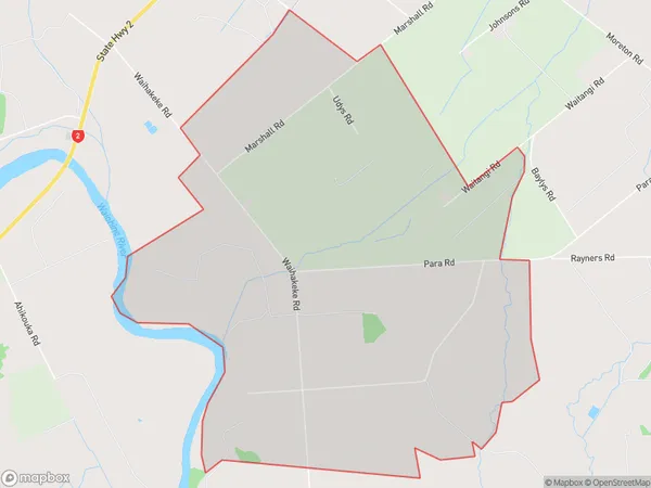
147 people live in Waihakeke, Carterton, NZWaihakeke Suburb Area Map (Polygon)
Waihakeke Introduction
Waihakeke is a suburb of Carterton, Wellington, New Zealand. It is located on the southern side of the Wairarapa River, approximately 15 km west of Carterton town center. The suburb has a population of around 1,200 people and is known for its scenic gardens and peaceful atmosphere. Waihakeke is also home to a variety of wildlife, including native birds and insects.Region
Major City
Suburb Name
WaihakekeWaihakeke Area Map (Street)
Local Authority
Carterton DistrictFull Address
Waihakeke, Carterton District,Address Type
Locality in Town CartertonWaihakeke Suburb Map (Satellite)
Country
Main Region in AU
WellingtonWaihakeke Region Map
Coordinates
0,0 (latitude/longitude)Distances
The distance from Waihakeke, Carterton, Carterton District to NZ Top 10 Cities