Upper Riccarton Area, Upper Riccarton Postcode(8041) & Map in Upper Riccarton
Upper Riccarton Area, Upper Riccarton Postcode(8041) & Map in Upper Riccarton, Christchurch City, New Zealand
Upper Riccarton, Christchurch City, New Zealand
Upper Riccarton Area (estimated)
2.8 square kilometersUpper Riccarton Population (estimated)
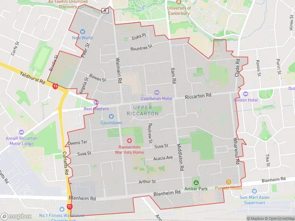
8409 people live in Upper Riccarton, Halswell-Hornby-Riccarton Community, NZUpper Riccarton Suburb Area Map (Polygon)
Upper Riccarton Introduction
Upper Riccarton is a suburb of Christchurch, New Zealand, located in the western suburbs of the city. It is known for its peaceful atmosphere, tree-lined streets, and well-maintained homes. The suburb has a variety of shops, restaurants, and recreational facilities, including the Upper Riccarton Library and the Riccarton Park Golf Course. Upper Riccarton is also home to a large number of healthcare professionals and students, due to the presence of the University of Canterbury and the Christchurch Hospital.Region
Major City
Suburb Name
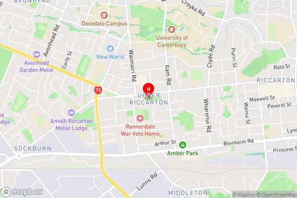
Upper RiccartonUpper Riccarton Area Map (Street)
Local Authority
Christchurch CityFull Address
Upper Riccarton, Christchurch City, New ZealandAddress Type
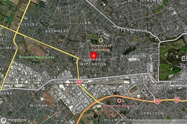
Suburb in City ChristchurchUpper Riccarton Suburb Map (Satellite)
Country
Main Region in AU
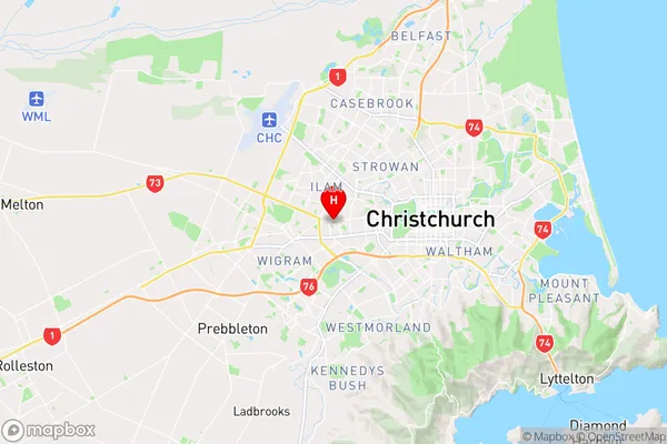
CanterburyUpper Riccarton Region Map
Coordinates
-43.5322738,172.5764985 (latitude/longitude)Distances
The distance from Upper Riccarton, Christchurch, Christchurch City to NZ Top 10 Cities