Upper Junction Area, Upper Junction Postcode(9010) & Map in Upper Junction
Upper Junction Area, Upper Junction Postcode(9010) & Map in Upper Junction, Dunedin City, New Zealand
Upper Junction, Dunedin City, New Zealand
Upper Junction Area (estimated)
2.9 square kilometersUpper Junction Population (estimated)
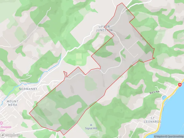
97 people live in Upper Junction, Dunedin, NZUpper Junction Suburb Area Map (Polygon)
Upper Junction Introduction
Upper Junction is a suburb of Dunedin, New Zealand, located in the northern part of the city. It is known for its vibrant community, historic homes, and proximity to the University of Otago. Upper Junction has a variety of shops, cafes, and restaurants, as well as a community center and library. The suburb is also home to a number of parks and recreational facilities, including the Upper Junction Park and the Dunedin Botanic Garden.Region
Major City
Suburb Name
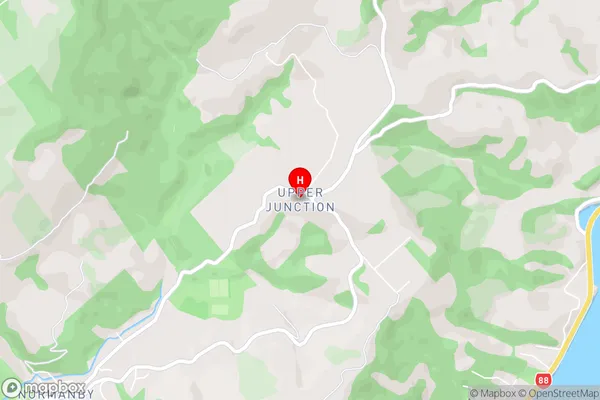
Upper JunctionUpper Junction Area Map (Street)
Local Authority
Dunedin CityFull Address
Upper Junction, Dunedin City, New ZealandAddress Type
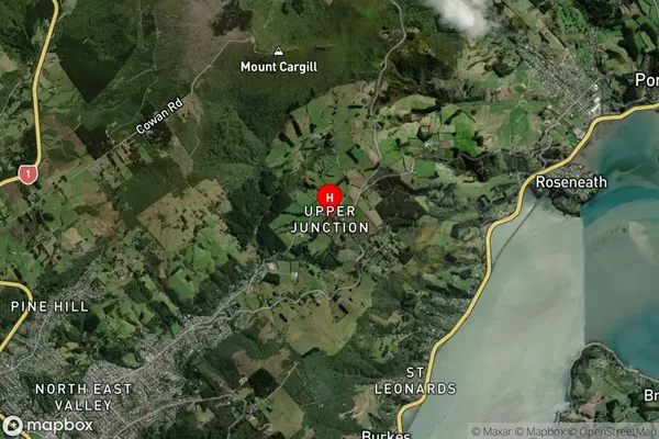
Suburb in City DunedinUpper Junction Suburb Map (Satellite)
Country
Main Region in AU
OtagoUpper Junction Region Map

Coordinates
-45.8313966,170.563138 (latitude/longitude)Distances
The distance from Upper Junction, Dunedin, Dunedin City to NZ Top 10 Cities