Upokongaro Area, Upokongaro Postcode(4575) & Map in Upokongaro
Upokongaro Area, Upokongaro Postcode(4575) & Map in Upokongaro, Whanganui District, New Zealand
Upokongaro, Whanganui District, New Zealand
Upokongaro Postcodes
Upokongaro Area (estimated)
54.2 square kilometersUpokongaro Population (estimated)
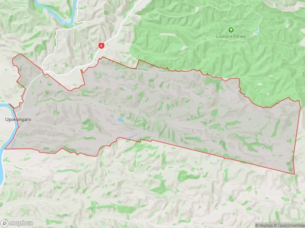
153 people live in Upokongaro, Whanganui, NZUpokongaro Suburb Area Map (Polygon)
Upokongaro Introduction
Upokongaro is a small rural community located in the Manawatu-Wanganui region of New Zealand. It is known for its beautiful natural surroundings, including the Upokongaro Forest and the Upokongaro River. The community has a strong sense of community and is home to a variety of cultural and recreational activities. It is also home to a number of historic buildings, including the Upokongaro School and the Upokongaro Church.Region
0Suburb Name
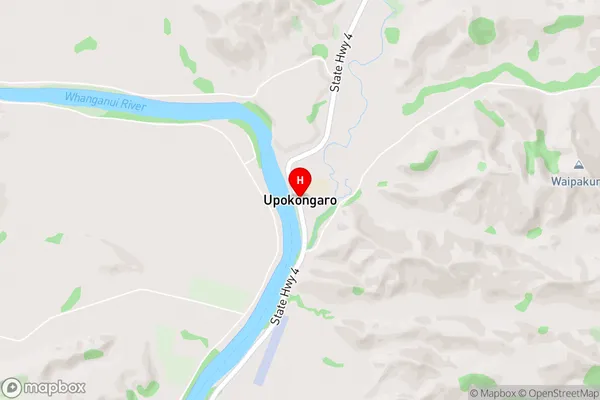
UpokongaroUpokongaro Area Map (Street)
Local Authority
Whanganui DistrictFull Address
Upokongaro, Whanganui District, New ZealandAddress Type
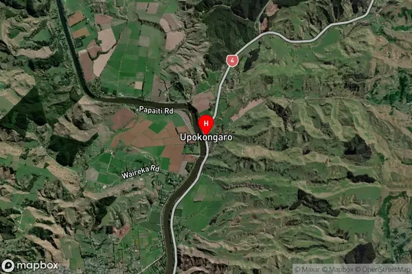
Locality in Major Locality UpokongaroUpokongaro Suburb Map (Satellite)
Country
Main Region in AU
Manawatu-WanganuiUpokongaro Region Map

Coordinates
-39.8668285,175.1138756 (latitude/longitude)Distances
The distance from Upokongaro, Upokongaro, Whanganui District to NZ Top 10 Cities