Twyford Area, Twyford Postcode(4154) & Map in Twyford
Twyford Area, Twyford Postcode(4154) & Map in Twyford, Hastings District, New Zealand
Twyford, Hastings District, New Zealand
Twyford Postcodes
Twyford Area (estimated)
26.9 square kilometersTwyford Population (estimated)
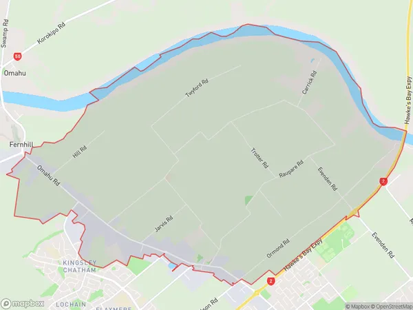
714 people live in Twyford, Hastings, NZTwyford Suburb Area Map (Polygon)
Twyford Introduction
Twyford is a small rural community in Hastings, Hawke's Bay, New Zealand. It is known for its beautiful gardens, historic buildings, and peaceful atmosphere. The area is surrounded by farmland and scenic countryside, making it a popular destination for outdoor activities such as hiking, cycling, and fishing. The local community is friendly and welcoming, and there are several amenities and services available, including a supermarket, a post office, and a medical center.Region
Major City
Suburb Name
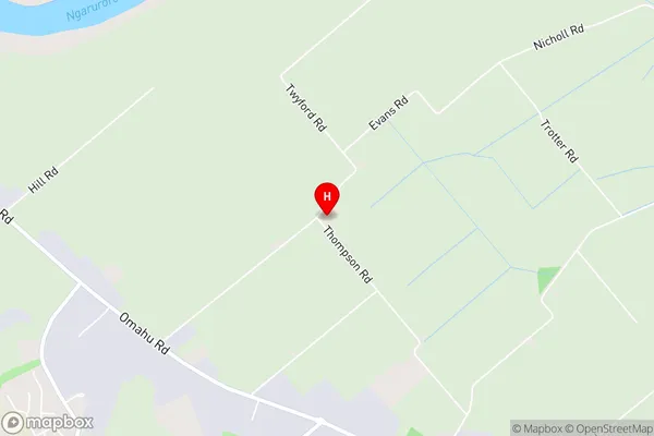
TwyfordTwyford Area Map (Street)
Local Authority
Hastings DistrictFull Address
Twyford, Hastings District, New ZealandAddress Type
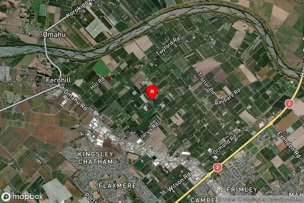
Locality in City HastingsTwyford Suburb Map (Satellite)
Country
Main Region in AU
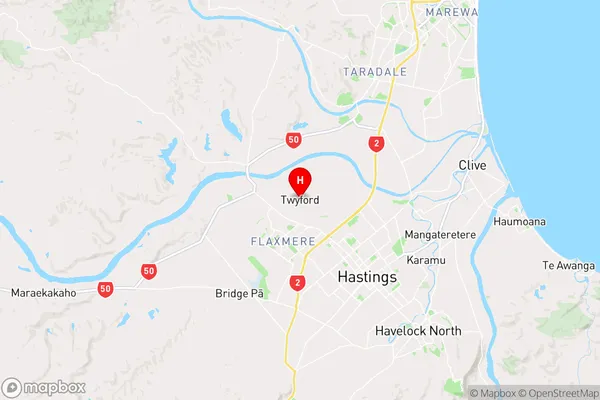
Hawke's BayTwyford Region Map
Coordinates
-39.6012241,176.7971206 (latitude/longitude)Distances
The distance from Twyford, Hastings, Hastings District to NZ Top 10 Cities