Tuturau Area, Tuturau Postcode(9710) & Map in Tuturau, Gore District
Tuturau Area, Tuturau Postcode(9710) & Map in Tuturau, Gore District, Southland District, New Zealand
Tuturau, Gore District, Southland District, New Zealand
Tuturau Postcodes
Tuturau Area (estimated)
84.3 square kilometersTuturau Population (estimated)
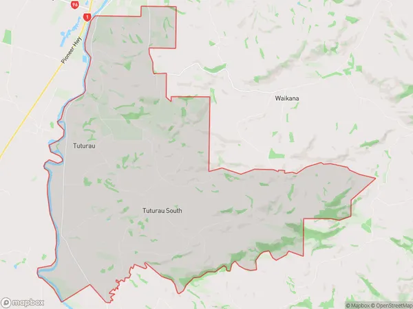
197 people live in Tuturau, Waihopai Toetoe Community, NZTuturau Suburb Area Map (Polygon)
Tuturau Introduction
Tuturau is a small rural community in Southland, New Zealand, located on the banks of the Mataura River. It is known for its scenic surroundings, including the nearby Mataura Forest and the Mataura River. The community has a primary school, a post office, and a small supermarket. Tuturau is also home to a number of historic buildings, including the Tuturau Hotel, which was built in 1887.Region
0Suburb Name
TuturauOther Name(s)
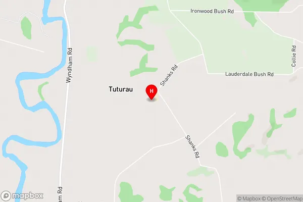
Brydone North, Tuturau SouthTuturau Area Map (Street)
Local Authority
Gore District, Southland DistrictFull Address
Tuturau, Gore District, Southland District, New ZealandAddress Type
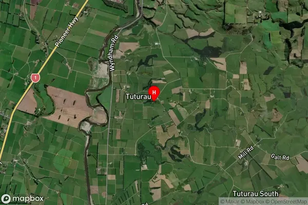
Locality in Major Locality TuturauTuturau Suburb Map (Satellite)
Country
Main Region in AU
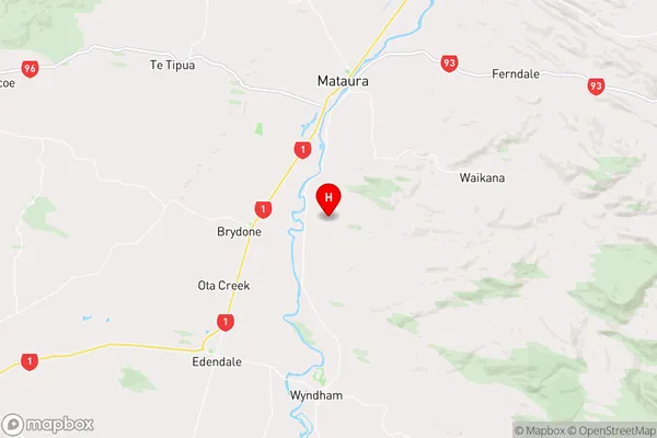
SouthlandTuturau Region Map
Coordinates
-46.2526491,168.8552555 (latitude/longitude)Distances
The distance from Tuturau, Tuturau, Gore District, Southland District to NZ Top 10 Cities