Tussock Creek Area, Tussock Creek Postcode & Map in Tussock Creek
Tussock Creek Area, Tussock Creek Postcode & Map in Tussock Creek, Southland District, New Zealand
Tussock Creek, Southland District, New Zealand
Tussock Creek Area (estimated)
29.4 square kilometersTussock Creek Population (estimated)
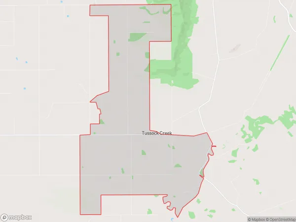
141 people live in Tussock Creek, Oreti Community, NZTussock Creek Suburb Area Map (Polygon)
Tussock Creek Introduction
Tussock Creek is a small rural community in Southland, New Zealand, located in the Winton District of the Southland Province. It is situated on the banks of the Tussock Creek, a tributary of the Clutha River, and is known for its scenic beauty and tranquil environment. The community has a population of around 100 people and is home to a variety of businesses, including a hotel, a farm, and a convenience store.Region
Major City
Suburb Name
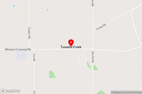
Tussock CreekTussock Creek Area Map (Street)
Local Authority
Southland DistrictFull Address
Tussock Creek, Southland District, New ZealandAddress Type
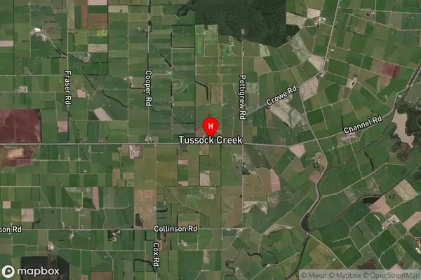
Locality in Town WintonTussock Creek Suburb Map (Satellite)
Country
Main Region in AU
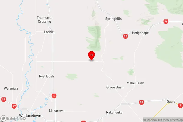
SouthlandTussock Creek Region Map
Coordinates
-46.25126,168.42843 (latitude/longitude)Distances
The distance from Tussock Creek, Winton, Southland District to NZ Top 10 Cities