Tuatapere Area, Tuatapere Postcode(9620) & Map in Tuatapere
Tuatapere Area, Tuatapere Postcode(9620) & Map in Tuatapere, Southland District, New Zealand
Tuatapere, Southland District, New Zealand
Tuatapere Area (estimated)
35.5 square kilometersTuatapere Population (estimated)
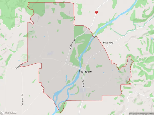
608 people live in Tuatapere, Tuatapere Te Waewae Community, NZTuatapere Suburb Area Map (Polygon)
Tuatapere Introduction
Tuatapere is a small town in Southland, New Zealand, with a population of around 500 people. It is located on the southern coast of the South Island and is known for its scenic surroundings, including the Tuatapere River and the surrounding mountains. The town is a popular destination for outdoor enthusiasts, with many opportunities for hiking, fishing, and hunting. It is also home to the Tuatapere Music Festival, which is held annually and attracts musicians and music fans from around New Zealand.Region
Major City
Suburb Name
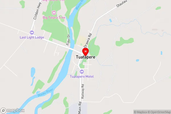
TuatapereTuatapere Area Map (Street)
Local Authority
Southland DistrictFull Address
Tuatapere, Southland District, New ZealandAddress Type
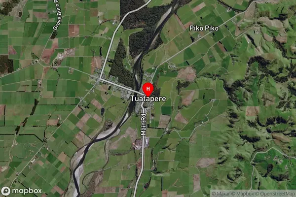
Suburb in Town TuatapereTuatapere Suburb Map (Satellite)
Country
Main Region in AU
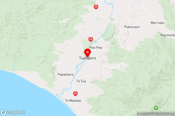
SouthlandTuatapere Region Map
Coordinates
-46.1323096,167.6907627 (latitude/longitude)Distances
The distance from Tuatapere, Tuatapere, Southland District to NZ Top 10 Cities