Totara Valley Area, Totara Valley Postcode(7903) & Map in Totara Valley
Totara Valley Area, Totara Valley Postcode(7903) & Map in Totara Valley, Timaru District, New Zealand
Totara Valley, Timaru District, New Zealand
Totara Valley Postcodes
Totara Valley Area (estimated)
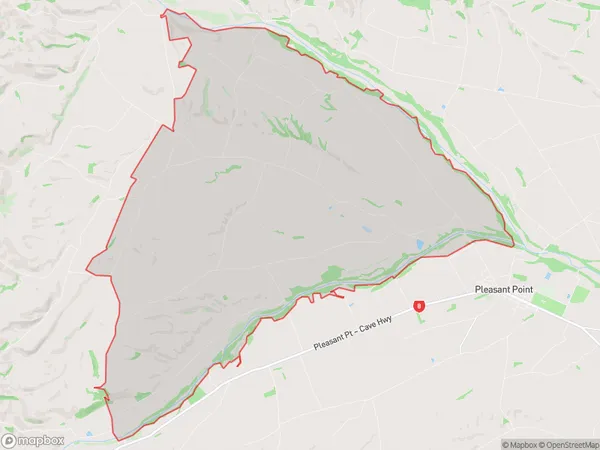
86.1 square kilometersTotara Valley Population (estimated)
203 people live in Totara Valley, Canterbury, NZTotara Valley Suburb Area Map (Polygon)
Totara Valley Introduction
Pleasant Point is a small town in the Totara Valley, Canterbury, New Zealand. It is located on the banks of the Pleasant Point River and is known for its scenic beauty and outdoor activities. The town has a population of around 1,000 people and is surrounded by farmland and forest. It is a popular destination for tourists and outdoor enthusiasts, with many hiking and cycling trails nearby. The town also has a golf course, a swimming pool, and a community hall.Region
Major City
Suburb Name
Totara ValleyOther Name(s)
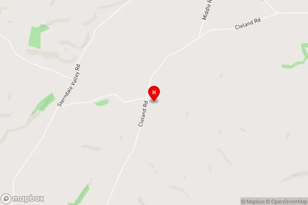
OpihiTotara Valley Area Map (Street)
Local Authority
Timaru DistrictFull Address
Totara Valley, Timaru District, New ZealandAddress Type
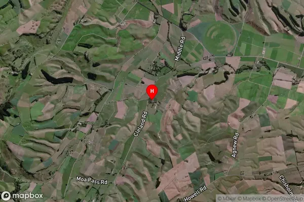
Locality in Town Pleasant PointTotara Valley Suburb Map (Satellite)
Country
Main Region in AU
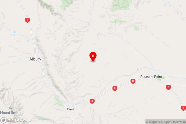
CanterburyTotara Valley Region Map
Coordinates
-44.2364511,171.000824 (latitude/longitude)Distances
The distance from Totara Valley, Pleasant Point, Timaru District to NZ Top 10 Cities