Tirohanga Area, Tirohanga Postcode(5040) & Map in Tirohanga
Tirohanga Area, Tirohanga Postcode(5040) & Map in Tirohanga, Lower Hutt City, New Zealand
Tirohanga, Lower Hutt City, New Zealand
Tirohanga Area (estimated)
1.2 square kilometersTirohanga Population (estimated)
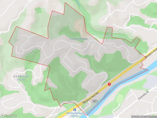
1197 people live in Tirohanga, Lower Hutt, NZTirohanga Suburb Area Map (Polygon)
Tirohanga Introduction
Tirohanga is a Māori cultural center and meeting place in Lower Hutt, Wellington, New Zealand. It was established in 1975 to provide a space for Māori to gather, celebrate their culture, and learn about their heritage. The center houses a library, a museum, a performing arts center, and various offices and classrooms. Tirohanga also hosts a variety of events and activities, including cultural performances, workshops, and conferences.Region
Major City
Suburb Name
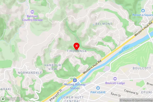
TirohangaTirohanga Area Map (Street)
Local Authority
Lower Hutt CityFull Address
Tirohanga, Lower Hutt City, New ZealandAddress Type
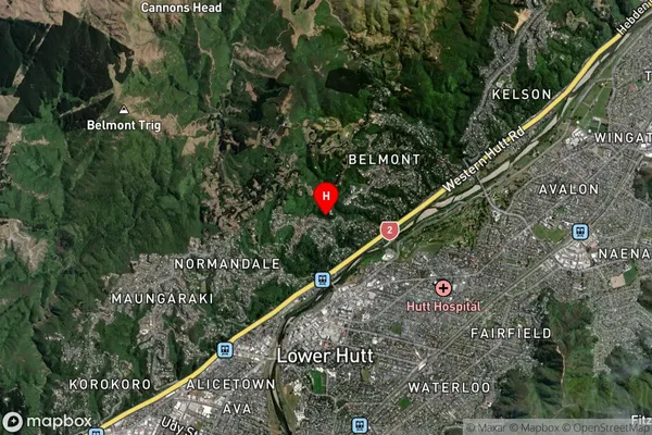
Suburb in City Lower HuttTirohanga Suburb Map (Satellite)
Country
Main Region in AU
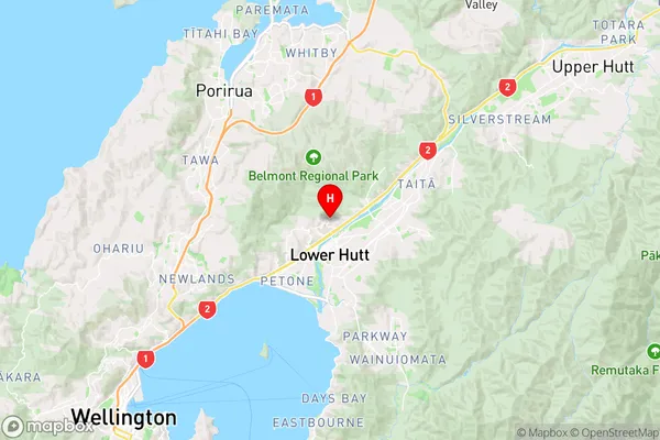
WellingtonTirohanga Region Map
Coordinates
-41.1961727,174.9059382 (latitude/longitude)Distances
The distance from Tirohanga, Lower Hutt, Lower Hutt City to NZ Top 10 Cities