Tiraumea Area, Tiraumea Postcode(4996) & Map in Tiraumea
Tiraumea Area, Tiraumea Postcode(4996) & Map in Tiraumea, Tararua District, New Zealand
Tiraumea, Tararua District, New Zealand
Tiraumea Postcodes
Tiraumea Area (estimated)
182.8 square kilometersTiraumea Population (estimated)
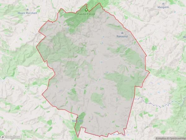
78 people live in Tiraumea, Manawatu-Wanganui, NZTiraumea Suburb Area Map (Polygon)
Tiraumea Introduction
Tiraumea is a small rural community located in the Eketahuna district of Manawatu-Wanganui, New Zealand. It is situated on the banks of the Rangitikei River and is known for its scenic views and peaceful atmosphere. The community has a population of around 100 people and is home to a primary school, a church, and a few small businesses. Tiraumea is a popular destination for outdoor enthusiasts, with nearby hiking and cycling trails and a range of recreational activities available in the surrounding area.Region
Major City
Suburb Name
Tiraumea (Maori Name: Tīraumea)Other Name(s)
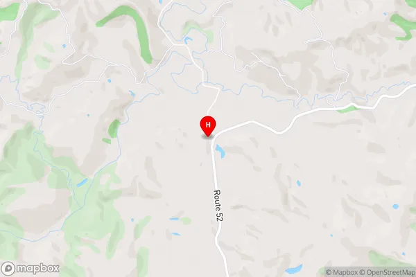
HaunuiTiraumea Area Map (Street)
Local Authority
Tararua DistrictFull Address
Tiraumea, Tararua District, New ZealandAddress Type
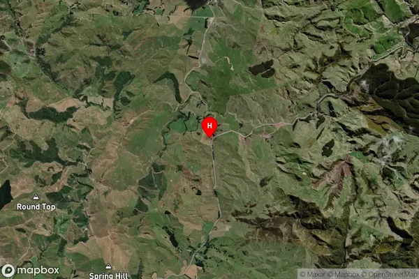
Locality in Town EketahunaTiraumea Suburb Map (Satellite)
Country
Main Region in AU
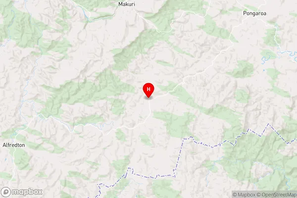
Manawatu-WanganuiTiraumea Region Map
Coordinates
-40.6331784,176.044956 (latitude/longitude)Distances
The distance from Tiraumea, Eketahuna, Tararua District to NZ Top 10 Cities