Tirau Area, Tirau Postcode(3410) & Map in Tirau
Tirau Area, Tirau Postcode(3410) & Map in Tirau, South Waikato District, New Zealand
Tirau, South Waikato District, New Zealand
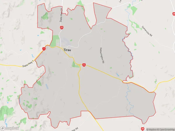
Tirau Area (estimated)
50.2 square kilometersTirau Population (estimated)
1254 people live in Tirau, Waikato, NZTirau Suburb Area Map (Polygon)

Tirau Introduction
Tirau is a small town in Waikato, New Zealand, with a population of around 10,000 people. It is known for its historic dairy farming industry and for being the birthplace of the famous All Blacks rugby team. The town also has a vibrant cultural heritage, with a number of museums and galleries, including the Tirau Museum and the Tirau Art Gallery. Tirau is located in the heart of Waikato's agricultural region, and is surrounded by beautiful countryside and rolling hills.Region
Major City
Suburb Name
Tirau (Maori Name: Tīrau)Other Name(s)
North PutaruruTirau Area Map (Street)

Local Authority
South Waikato DistrictFull Address
Tirau, South Waikato District, New ZealandAddress Type
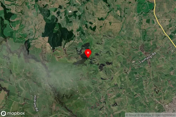
Suburb in Town TirauTirau Suburb Map (Satellite)

Country
Main Region in AU
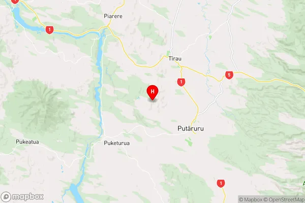
WaikatoTirau Region Map

Coordinates
-38.022541,175.728493 (latitude/longitude)Distances
The distance from Tirau, Tirau, South Waikato District to NZ Top 10 Cities