Tihiotonga Area, Tihiotonga Postcode(3010) & Map in Tihiotonga
Tihiotonga Area, Tihiotonga Postcode(3010) & Map in Tihiotonga, Rotorua District, New Zealand
Tihiotonga, Rotorua District, New Zealand
Tihiotonga Area (estimated)
10.8 square kilometersTihiotonga Population (estimated)
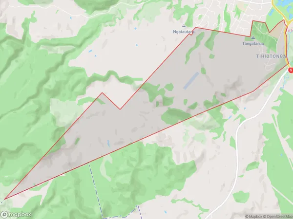
539 people live in Tihiotonga, Rotorua, NZTihiotonga Suburb Area Map (Polygon)
Tihiotonga Introduction
Tihiotonga, also known as the "Island of the Birds," is a small island in the Bay of Plenty, New Zealand. It is a popular tourist destination known for its unique wildlife, including the rare and endangered Tui bird. The island has a rich cultural history and is home to several ancient archaeological sites. Visitors can explore the island by foot, bike, or boat and enjoy activities such as hiking, fishing, and kayaking.Region
Major City
Suburb Name
TihiotongaOther Name(s)
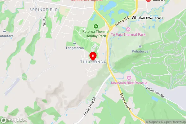
TihoitongaTihiotonga Area Map (Street)
Local Authority
Rotorua DistrictFull Address
Tihiotonga, Rotorua District, New ZealandAddress Type
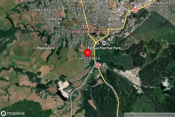
Suburb in City RotoruaTihiotonga Suburb Map (Satellite)
Country
Main Region in AU
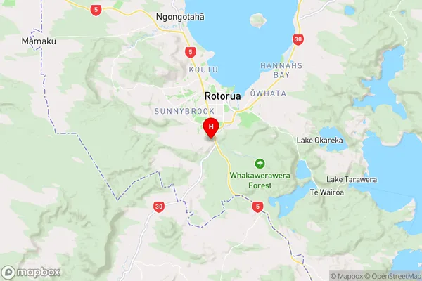
Bay of PlentyTihiotonga Region Map
Coordinates
-38.1723567,176.2416591 (latitude/longitude)Distances
The distance from Tihiotonga, Rotorua, Rotorua District to NZ Top 10 Cities