Raetihi Area, Raetihi Postcode(4625) & Map in Raetihi
Raetihi Area, Raetihi Postcode(4625) & Map in Raetihi, Ruapehu District, New Zealand
Raetihi, Ruapehu District, New Zealand
Raetihi Area (estimated)
366.3 square kilometersRaetihi Population (estimated)
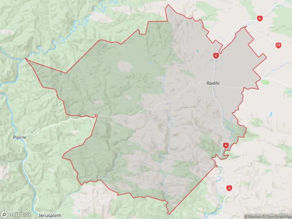
1317 people live in Raetihi, Manawatu-Wanganui, NZRaetihi Suburb Area Map (Polygon)
Raetihi Introduction
Raetihi is a small town in the Manawatu-Wanganui region of New Zealand. It is known for its historic buildings, including the Raetihi railway station, which is listed as a "Category I" historic place by the Heritage New Zealand. The town also has a popular beach and a golf course. Raetihi is located about 35 kilometers north of Palmerston North and 120 kilometers south of Wellington.Region
0Suburb Name
RaetihiOther Name(s)
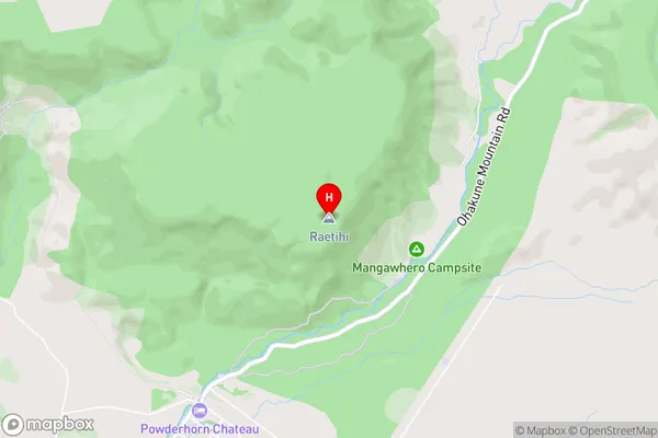
Mangaeturoa, Ruatihi, Tanupara, WaipunaRaetihi Area Map (Street)
Local Authority
Ruapehu DistrictFull Address
Raetihi, Ruapehu District, New ZealandAddress Type
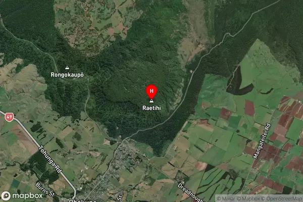
Suburb in Town RaetihiRaetihi Suburb Map (Satellite)
Country
Main Region in AU
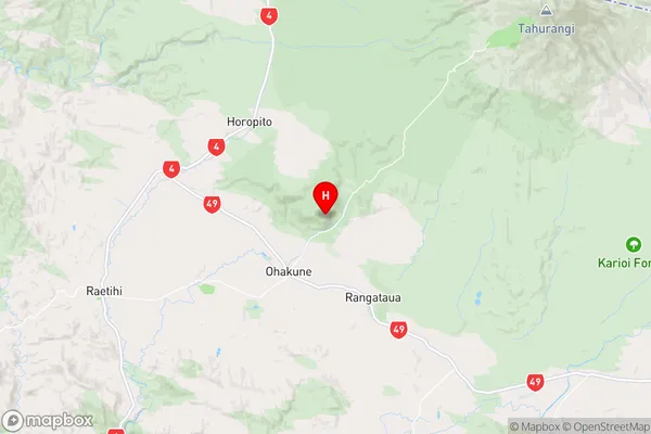
Manawatu-WanganuiRaetihi Region Map
Coordinates
-39.390298,175.4230111 (latitude/longitude)Distances
The distance from Raetihi, Raetihi, Ruapehu District to NZ Top 10 Cities