Newall Area, Newall Postcode & Map in Newall
Newall Area, Newall Postcode & Map in Newall, South Taranaki District, New Zealand
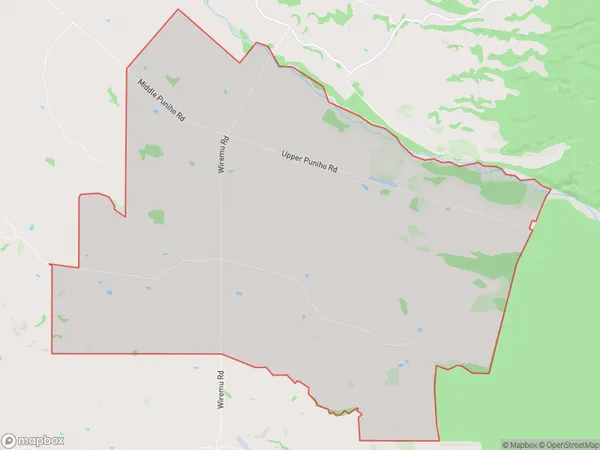
Newall, South Taranaki District, New Zealand
Newall Area (estimated)
36.1 square kilometersNewall Population (estimated)
132 people live in Newall, Taranaki, NZNewall Suburb Area Map (Polygon)
Newall Introduction
Newall, Warea, Taranaki, NZ, was a small rural community that thrived on farming and forestry. It was located near the New Plymouth Airport and had a post office, school, and church. The community was known for its scenic views and friendly residents. Unfortunately, the community was abandoned in the 1980s due to the decline of rural industries and the relocation of residents to larger cities.Region
0Suburb Name
NewallOther Name(s)
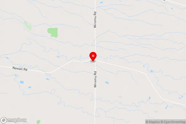
TumahuNewall Area Map (Street)
Local Authority
South Taranaki DistrictFull Address
Newall, South Taranaki District, New ZealandAddress Type
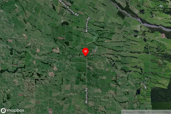
Locality in Major Locality WareaNewall Suburb Map (Satellite)
Country
Main Region in AU
TaranakiNewall Region Map

Coordinates
-39.2659756,173.9038041 (latitude/longitude)Distances
The distance from Newall, Warea, South Taranaki District to NZ Top 10 Cities