Tihaka Area, Tihaka Postcode & Map in Tihaka
Tihaka Area, Tihaka Postcode & Map in Tihaka, Southland District, New Zealand
Tihaka, Southland District, New Zealand
Tihaka Area (estimated)
14.8 square kilometersTihaka Population (estimated)
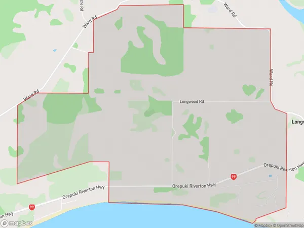
36 people live in Tihaka, Southland, NZTihaka Suburb Area Map (Polygon)
Tihaka Introduction
Tihaka is a small rural community located in the Riverton/Aparima district of Southland, New Zealand. It is situated on the banks of the Tihaka River, approximately 12 kilometers south of Riverton town. The community has a population of around 100 people and is known for its scenic surroundings, including the Tihaka Forest Park and the Tihaka Gorge. Tihaka is a popular destination for outdoor enthusiasts, with numerous hiking and tramping tracks in the area. The community also has a primary school and a small supermarket.Region
0Suburb Name
TihakaOther Name(s)
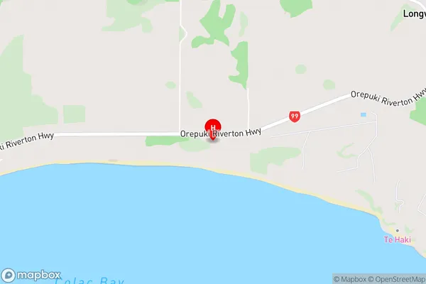
TihikaTihaka Area Map (Street)
Local Authority
Southland DistrictFull Address
Tihaka, Southland District, New ZealandAddress Type
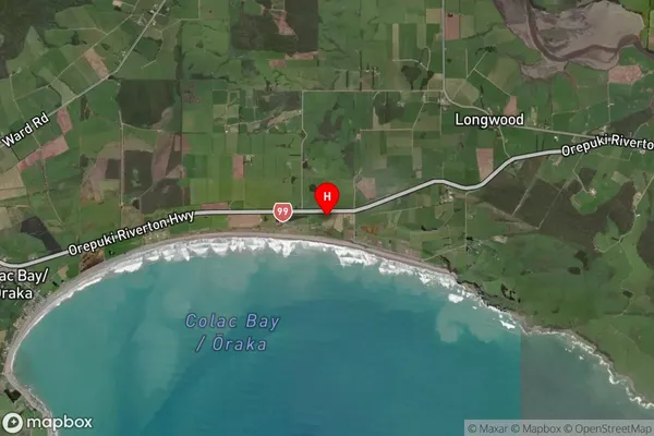
Locality in Town Riverton/AparimaTihaka Suburb Map (Satellite)
Country
Main Region in AU
SouthlandTihaka Region Map

Coordinates
-46.3556315,167.9284846 (latitude/longitude)Distances
The distance from Tihaka, Riverton/Aparima, Southland District to NZ Top 10 Cities