Thornton Area, Thornton Postcode(3120) & Map in Thornton
Thornton Area, Thornton Postcode(3120) & Map in Thornton, Whakatane District, New Zealand
Thornton, Whakatane District, New Zealand
Thornton Postcodes
Thornton Area (estimated)
36.8 square kilometersThornton Population (estimated)
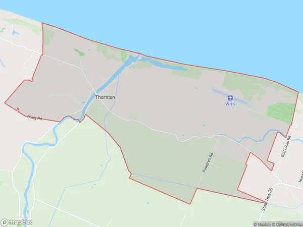
526 people live in Thornton, Bay of Plenty, NZThornton Suburb Area Map (Polygon)
Thornton Introduction
Thornton is a small rural town in the Bay of Plenty, New Zealand. It is known for its beautiful countryside, friendly locals, and popular tourist attractions such as the Hauraki Rail Trail and the Thornton Farm Park. The town also has a primary school, a post office, and a small supermarket.Region
Major City
Suburb Name
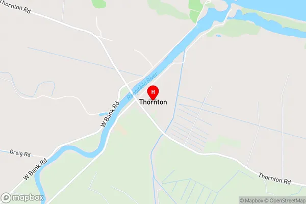
ThorntonThornton Area Map (Street)
Local Authority
Whakatane DistrictFull Address
Thornton, Whakatane District, New ZealandAddress Type
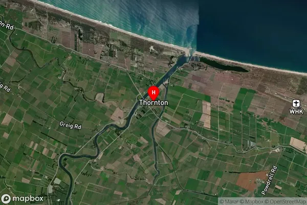
Locality in Town WhakataneThornton Suburb Map (Satellite)
Country
Main Region in AU
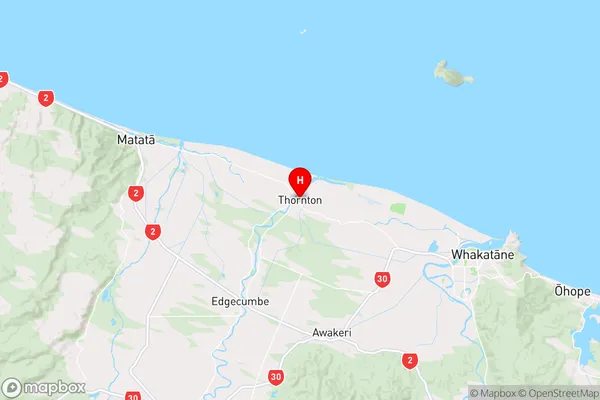
Bay of PlentyThornton Region Map
Coordinates
-37.9223655,176.8691534 (latitude/longitude)Distances
The distance from Thornton, Whakatane, Whakatane District to NZ Top 10 Cities