Thomsons Ford Area, Thomsons Ford Postcode(7201) & Map in Thomsons Ford
Thomsons Ford Area, Thomsons Ford Postcode(7201) & Map in Thomsons Ford, Marlborough District,
Thomsons Ford, Marlborough District,
Thomsons Ford Postcodes
Thomsons Ford Area (estimated)
2.4 square kilometersThomsons Ford Population (estimated)
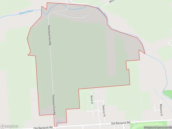
44 people live in Thomsons Ford, Blenheim, NZThomsons Ford Suburb Area Map (Polygon)
Thomsons Ford Introduction
Thomson's Ford is a historic site in Blenheim, Marlborough, New Zealand, where a ford on the Omaka River was used by early European settlers. It is now a popular tourist attraction and a reminder of the area's rich history.Region
Major City
Suburb Name
Thomsons FordThomsons Ford Area Map (Street)
Local Authority
Marlborough DistrictFull Address
Thomsons Ford, Marlborough District,Address Type
Locality in Town BlenheimThomsons Ford Suburb Map (Satellite)
Country
Main Region in AU
MarlboroughThomsons Ford Region Map
Coordinates
0,0 (latitude/longitude)Distances
The distance from Thomsons Ford, Blenheim, Marlborough District to NZ Top 10 Cities