Thomsons Crossing Area, Thomsons Crossing Postcode(9781) & Map in Thomsons Crossing
Thomsons Crossing Area, Thomsons Crossing Postcode(9781) & Map in Thomsons Crossing, Southland District, New Zealand
Thomsons Crossing, Southland District, New Zealand
Thomsons Crossing Postcodes
Thomsons Crossing Area (estimated)
45.0 square kilometersThomsons Crossing Population (estimated)
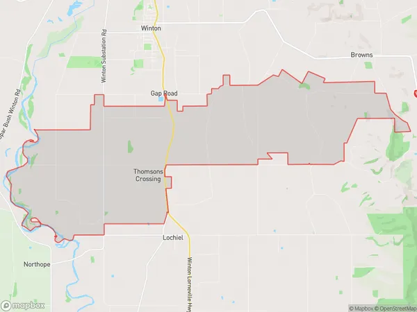
206 people live in Thomsons Crossing, Oreti Community, NZThomsons Crossing Suburb Area Map (Polygon)
Thomsons Crossing Introduction
Thomson's Crossing is a historic settlement in Southland, New Zealand, located on the banks of the Winton River. It was established in the 1860s by Scottish settler John Thomson and is known for its picturesque stone buildings and rich heritage. The crossing was an important stopover point on the Southern Alps Crossing and played a significant role in the region's development. Today, Thomson's Crossing is a popular tourist destination and a testament to the hard work and determination of early New Zealand settlers.Region
Major City
Suburb Name
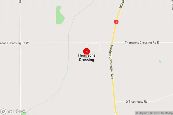
Thomsons CrossingThomsons Crossing Area Map (Street)
Local Authority
Southland DistrictFull Address
Thomsons Crossing, Southland District, New ZealandAddress Type
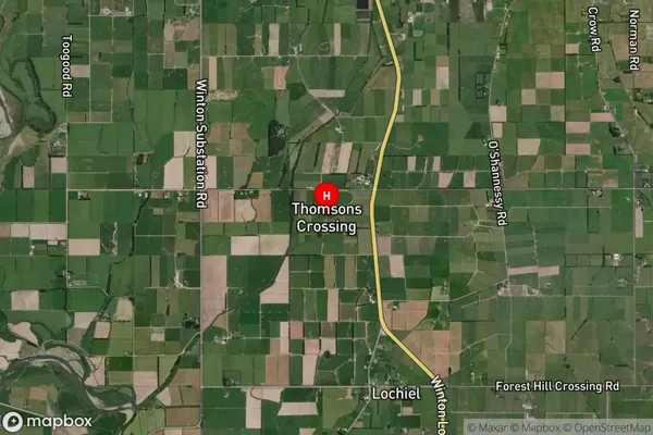
Locality in Town WintonThomsons Crossing Suburb Map (Satellite)
Country
Main Region in AU
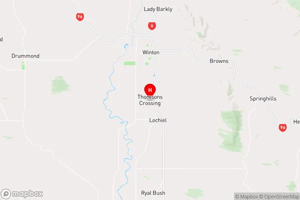
SouthlandThomsons Crossing Region Map
Coordinates
-46.18672,168.32269 (latitude/longitude)Distances
The distance from Thomsons Crossing, Winton, Southland District to NZ Top 10 Cities