The Pines Area, The Pines Postcode & Map in The Pines
The Pines Area, The Pines Postcode & Map in The Pines, Marlborough District,
The Pines, Marlborough District,
The Pines Area (estimated)
4.6 square kilometersThe Pines Population (estimated)
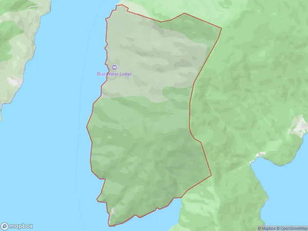
24 people live in The Pines, , NZThe Pines Suburb Area Map (Polygon)
The Pines Introduction
The Pines is a holiday home located in the Marlborough Sounds, New Zealand. It offers stunning views of the surrounding area and is a popular spot for outdoor activities such as hiking, kayaking, and fishing. The home is spacious and comfortable, with three bedrooms and two bathrooms. It also has a fully equipped kitchen, a living room, and a deck with a BBQ.0Suburb Name
The PinesThe Pines Area Map (Street)
Local Authority
Marlborough DistrictFull Address
The Pines, Marlborough District,Address Type
Locality in Major Locality Marlborough SoundsThe Pines Suburb Map (Satellite)
Country
Main Region in AU
The Pines Region Map
Coordinates
0,0 (latitude/longitude)Distances
The distance from The Pines, Marlborough Sounds, Marlborough District to NZ Top 10 Cities