The Peaks Area, The Peaks Postcode & Map in The Peaks
The Peaks Area, The Peaks Postcode & Map in The Peaks, Hurunui District, New Zealand
The Peaks, Hurunui District, New Zealand
The Peaks Area (estimated)
64.4 square kilometersThe Peaks Population (estimated)
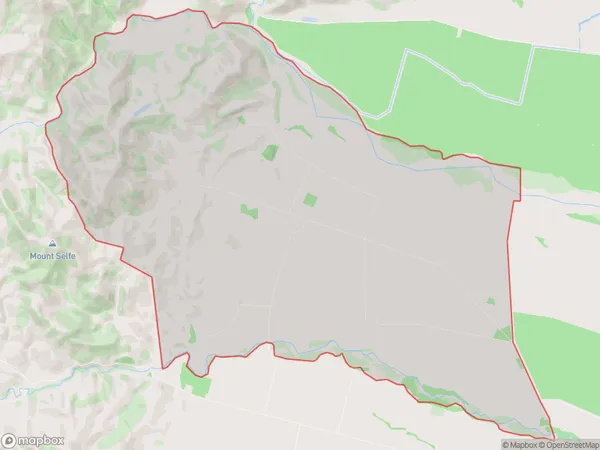
63 people live in The Peaks, Canterbury, NZThe Peaks Suburb Area Map (Polygon)
The Peaks Introduction
The Peaks is a residential area in Hawarden, Canterbury, New Zealand. It is known for its picturesque homes, lush gardens, and peaceful atmosphere. The area is popular with families and retirees and offers a range of amenities, including a golf course, a bowling club, and a community center. The Peaks is also home to a variety of wildlife, including birds, rabbits, and deer.Region
Major City
Suburb Name
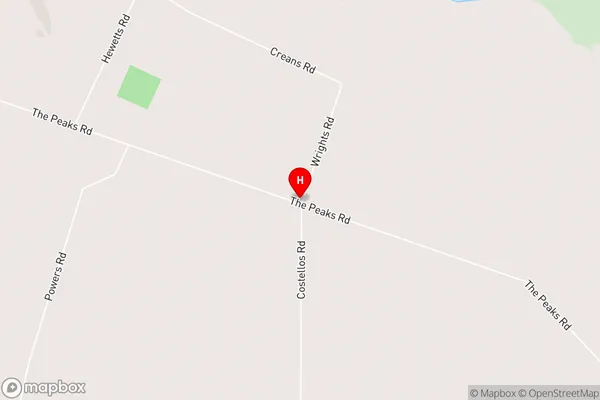
The PeaksThe Peaks Area Map (Street)
Local Authority
Hurunui DistrictFull Address
The Peaks, Hurunui District, New ZealandAddress Type
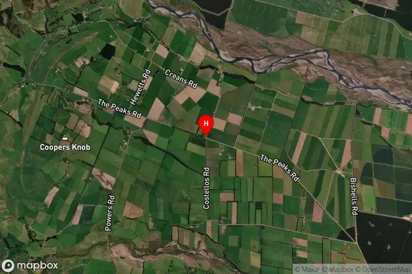
Locality in Major Locality HawardenThe Peaks Suburb Map (Satellite)
Country
Main Region in AU
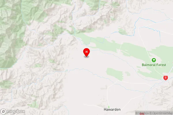
CanterburyThe Peaks Region Map
Coordinates
-42.831368,172.5835204 (latitude/longitude)Distances
The distance from The Peaks, Hawarden, Hurunui District to NZ Top 10 Cities