The Gardens Area, The Gardens Postcode(2105) & Map in The Gardens
The Gardens Area, The Gardens Postcode(2105) & Map in The Gardens, Auckland, New Zealand
The Gardens, Auckland, New Zealand
The Gardens Postcodes
The Gardens Area (estimated)
4.5 square kilometersThe Gardens Population (estimated)
3815 people live in The Gardens, Manurewa, NZThe Gardens Suburb Area Map (Polygon)
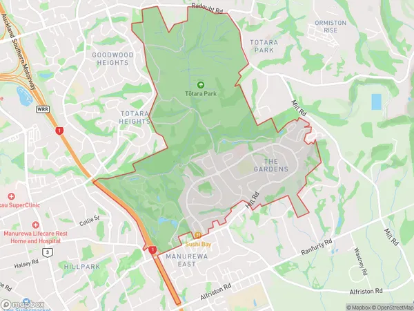
The Gardens Introduction
The Gardens is a suburban neighborhood in Auckland, New Zealand, known for its lush gardens, peaceful atmosphere, and convenient location. It is a popular residential area with a variety of housing options, including apartments, townhouses, and detached homes. The area is well-connected to the city center by public transportation, and it is surrounded by a range of amenities, including parks, schools, and shopping centers.Region
Major City
Suburb Name
The GardensOther Name(s)
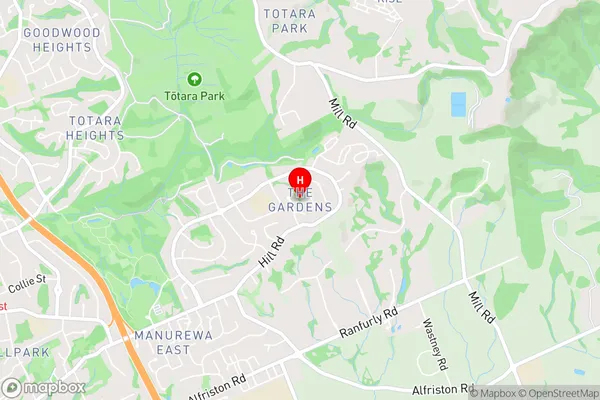
Manukau Central, Ormiston, WairereThe Gardens Area Map (Street)
Local Authority
AucklandFull Address
The Gardens, Auckland, New ZealandAddress Type
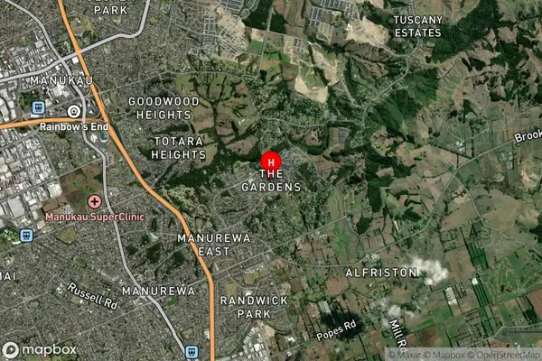
Suburb in City AucklandThe Gardens Suburb Map (Satellite)
Country
Main Region in AU
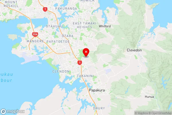
AucklandThe Gardens Region Map
Coordinates
-37.0051376,174.921164 (latitude/longitude)Distances
The distance from The Gardens, Auckland, Auckland to NZ Top 10 Cities