Teschemakers Area, Teschemakers Postcode(9495) & Map in Teschemakers
Teschemakers Area, Teschemakers Postcode(9495) & Map in Teschemakers, Waitaki District, New Zealand
Teschemakers, Waitaki District, New Zealand
Teschemakers Postcodes
Teschemakers Area (estimated)
3.4 square kilometersTeschemakers Population (estimated)
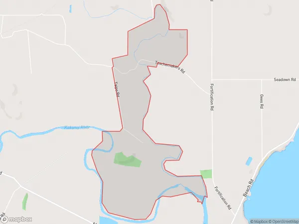
16 people live in Teschemakers, Otago, NZTeschemakers Suburb Area Map (Polygon)
Teschemakers Introduction
Teschemakers is a small rural community located in the Waitaki District of Otago, New Zealand. It is situated on the banks of the Oamaru River, approximately 30 kilometers south of Oamaru and 120 kilometers north of Dunedin. The community is known for its historic stone buildings, including the Teschemakers Hotel, which was built in 1876. It also has a primary school, a post office, and a small supermarket. Teschemakers is a popular destination for outdoor activities such as fishing, hiking, and cycling, and is surrounded by stunning natural scenery.Region
Major City
Suburb Name
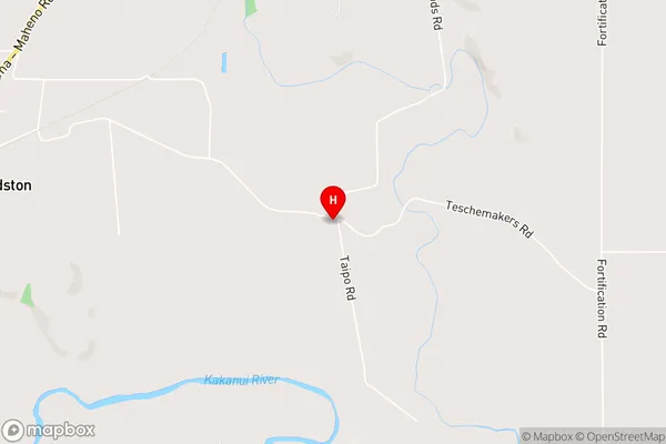
TeschemakersTeschemakers Area Map (Street)
Local Authority
Waitaki DistrictFull Address
Teschemakers, Waitaki District, New ZealandAddress Type
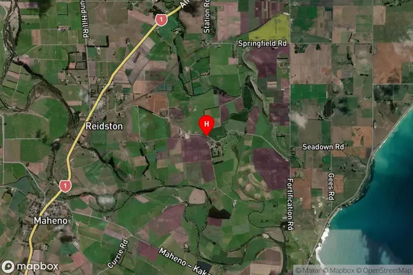
Locality in Town OamaruTeschemakers Suburb Map (Satellite)
Country
Main Region in AU
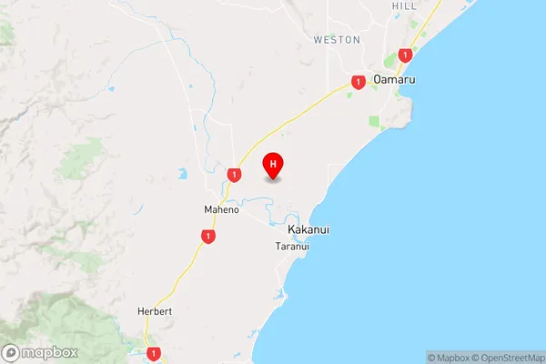
OtagoTeschemakers Region Map
Coordinates
-45.154442,170.8769059 (latitude/longitude)Distances
The distance from Teschemakers, Oamaru, Waitaki District to NZ Top 10 Cities