Broomfield Area, Broomfield Postcode(8042) & Map in Broomfield
Broomfield Area, Broomfield Postcode(8042) & Map in Broomfield, Christchurch City, New Zealand
Broomfield, Christchurch City, New Zealand
Broomfield Postcodes
Broomfield Area (estimated)
2.5 square kilometersBroomfield Population (estimated)
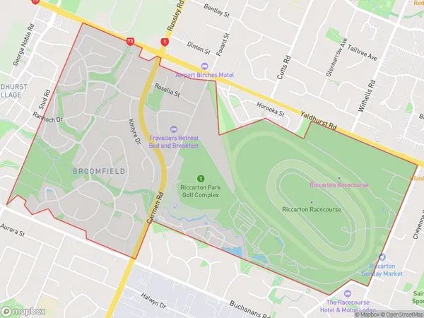
2813 people live in Broomfield, Halswell-Hornby-Riccarton Community, NZBroomfield Suburb Area Map (Polygon)
Broomfield Introduction
Broomfield is a suburb of Christchurch, New Zealand, located in the eastern suburbs of the city. It is known for its rural atmosphere, scenic views, and well-developed infrastructure. The suburb has a population of around 20,000 people and is home to a variety of residential properties, including farms, lifestyle blocks, and apartments. Broomfield is also home to a number of businesses and industries, including a supermarket, a medical center, and a technology park. The suburb is well-connected to the rest of Christchurch via the State Highway 1 and is only a short drive from the city center.Region
Major City
Suburb Name
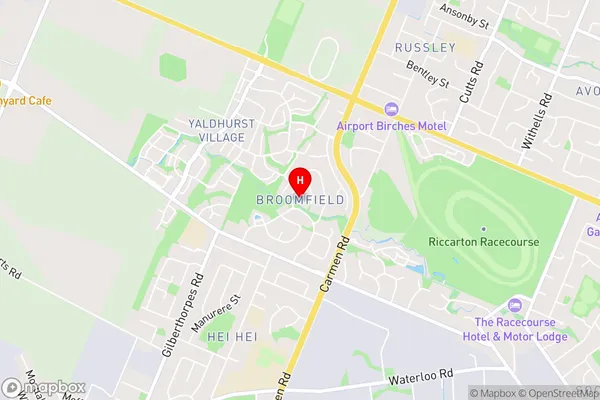
BroomfieldBroomfield Area Map (Street)
Local Authority
Christchurch CityFull Address
Broomfield, Christchurch City, New ZealandAddress Type
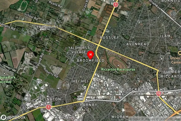
Suburb in City ChristchurchBroomfield Suburb Map (Satellite)
Country
Main Region in AU
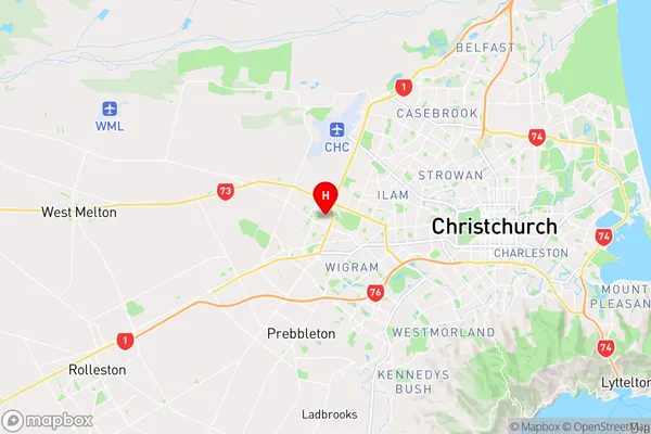
CanterburyBroomfield Region Map
Coordinates
-43.5266391,172.5295382 (latitude/longitude)Distances
The distance from Broomfield, Christchurch, Christchurch City to NZ Top 10 Cities