Temuka Area, Temuka Postcode(7920) & Map in Temuka
Temuka Area, Temuka Postcode(7920) & Map in Temuka, Timaru District, New Zealand
Temuka, Timaru District, New Zealand
Temuka Area (estimated)
91.6 square kilometersTemuka Population (estimated)
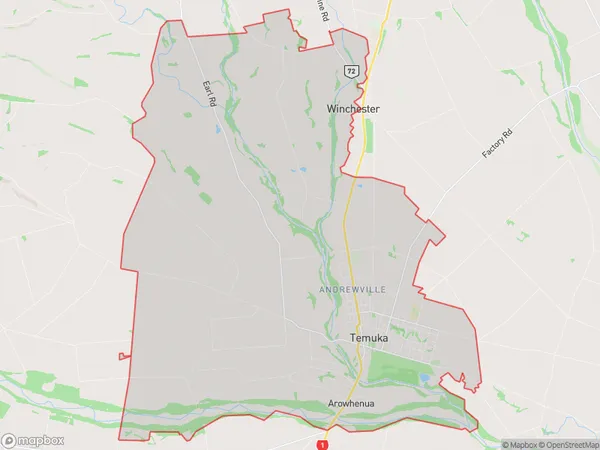
5184 people live in Temuka, Canterbury, NZTemuka Suburb Area Map (Polygon)
Temuka Introduction
Temuka is a small town in Canterbury, New Zealand, located on the banks of the Rakaia River. It is known for its historic railway station and the nearby Temuka Gorge, a popular hiking and cycling destination. The town also has a golf course and a variety of shops and cafes.Region
Major City
Suburb Name
TemukaOther Name(s)
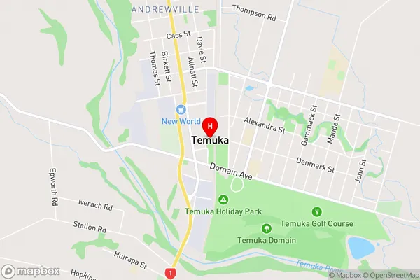
Andrewville, Epworth, Rangatira Valley, Te Awa, WaiapiTemuka Area Map (Street)
Local Authority
Timaru DistrictFull Address
Temuka, Timaru District, New ZealandAddress Type
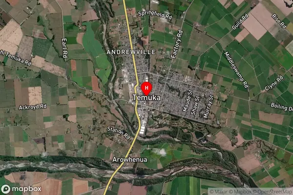
Suburb in Town TemukaTemuka Suburb Map (Satellite)
Country
Main Region in AU
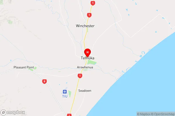
CanterburyTemuka Region Map
Coordinates
-44.2439593,171.2797349 (latitude/longitude)Distances
The distance from Temuka, Temuka, Timaru District to NZ Top 10 Cities