Templeton Area, Templeton Postcode(7676) & Map in Templeton, Christchurch City
Templeton Area, Templeton Postcode(7676) & Map in Templeton, Christchurch City, Selwyn District, New Zealand
Templeton, Christchurch City, Selwyn District, New Zealand
Templeton Area (estimated)
35.1 square kilometersTempleton Population (estimated)
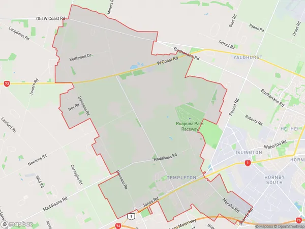
3195 people live in Templeton, Halswell-Hornby-Riccarton Community, NZTempleton Suburb Area Map (Polygon)
Templeton Introduction
Templeton is a suburb of Christchurch, New Zealand, located 7 km southwest of the city center. It is known for its rural atmosphere, scenic views, and popular recreational activities such as cycling and hiking. The suburb has a population of around 30,000 people and is home to several notable landmarks, including the Templeton Winery and the Templeton Events Center.Region
Major City
Suburb Name
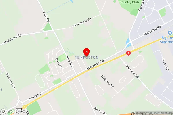
TempletonTempleton Area Map (Street)
Local Authority
Christchurch City, Selwyn DistrictFull Address
Templeton, Christchurch City, Selwyn District, New ZealandAddress Type
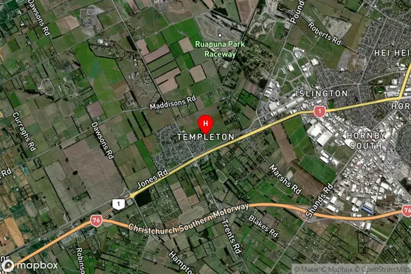
Suburb in City ChristchurchTempleton Suburb Map (Satellite)
Country
Main Region in AU
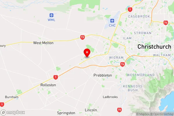
CanterburyTempleton Region Map
Coordinates
-43.5504418,172.4770079 (latitude/longitude)Distances
The distance from Templeton, Christchurch, Christchurch City, Selwyn District to NZ Top 10 Cities