Te Waewae Area, Te Waewae Postcode & Map in Te Waewae
Te Waewae Area, Te Waewae Postcode & Map in Te Waewae, Southland District, New Zealand
Te Waewae, Southland District, New Zealand
Te Waewae Area (estimated)
53.8 square kilometersTe Waewae Population (estimated)
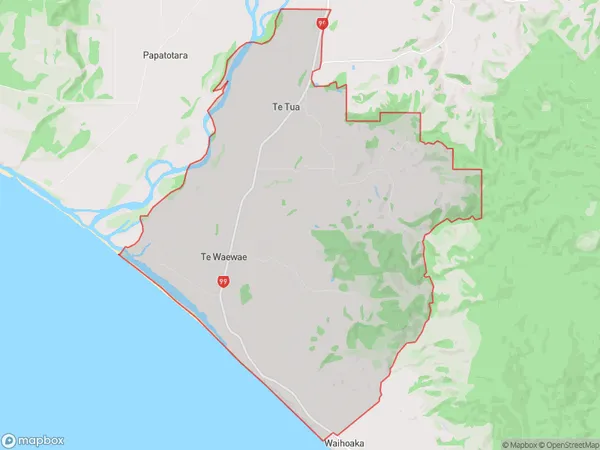
74 people live in Te Waewae, Tuatapere Te Waewae Community, NZTe Waewae Suburb Area Map (Polygon)
Te Waewae Introduction
Te Waewae, Tuatapere, Southland, NZ, is a marae that holds significant cultural and historical importance for the local Māori tribe. It is situated on the banks of the Waewae River and is known for its stunning architecture and traditional Māori crafts. The marae also hosts various cultural events and ceremonies throughout the year, making it a popular tourist destination.Region
Major City
Suburb Name
Te WaewaeOther Name(s)
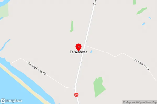
Te TuaTe Waewae Area Map (Street)
Local Authority
Southland DistrictFull Address
Te Waewae, Southland District, New ZealandAddress Type
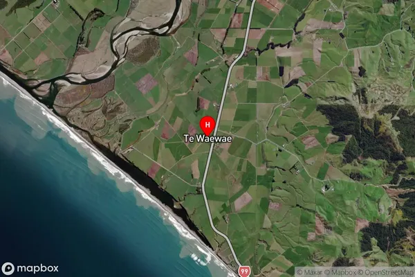
Locality in Town TuatapereTe Waewae Suburb Map (Satellite)
Country
Main Region in AU
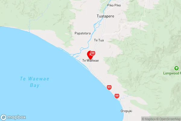
SouthlandTe Waewae Region Map
Coordinates
-46.202117,167.6567719 (latitude/longitude)Distances
The distance from Te Waewae, Tuatapere, Southland District to NZ Top 10 Cities