Te Uri Area, Te Uri Postcode & Map in Te Uri, Central Hawke's Bay District
Te Uri Area, Te Uri Postcode & Map in Te Uri, Central Hawke's Bay District, Tararua District, New Zealand
Te Uri, Central Hawke's Bay District, Tararua District, New Zealand
Te Uri Area (estimated)
187.5 square kilometersTe Uri Population (estimated)
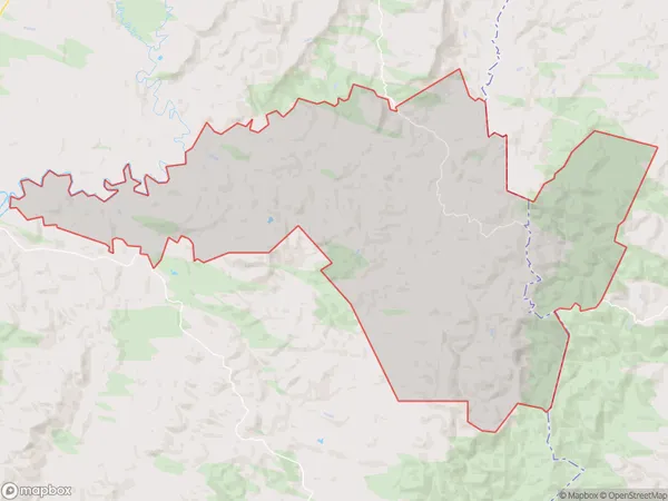
155 people live in Te Uri, Hawke's Bay, NZTe Uri Suburb Area Map (Polygon)
Te Uri Introduction
Te Uri o Hinehukatea is a small rural community located in the Dannevirke District of Hawke's Bay, New Zealand. It is known for its stunning natural beauty, including the Te Uri o Hinehukatea Reserve, a protected area that is home to a variety of native plants and animals. The community has a strong cultural heritage, with a marae and a community hall that are used for meetings and events. Te Uri also has a primary school and a post office, and is surrounded by farmland and picturesque countryside.Region
Major City
Suburb Name
Te UriOther Name(s)
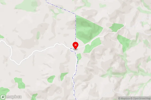
Awariki, Mangahei, Mangatuna, OkaraeTe Uri Area Map (Street)
Local Authority
Central Hawke's Bay District, Tararua DistrictFull Address
Te Uri, Central Hawke's Bay District, Tararua District, New ZealandAddress Type
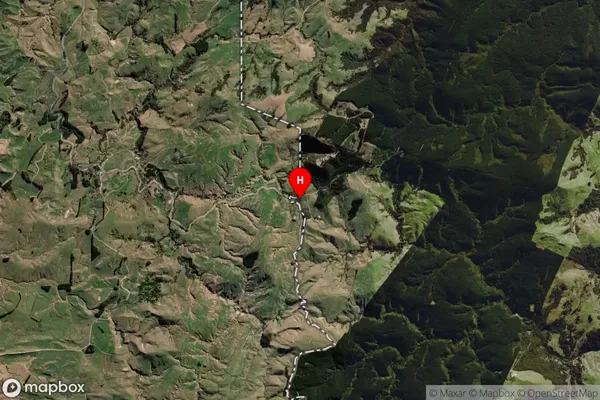
Locality in Town DannevirkeTe Uri Suburb Map (Satellite)
Country
Main Region in AU
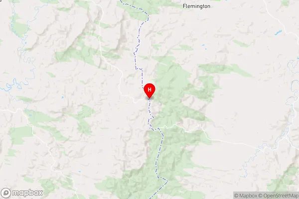
Hawke's BayTe Uri Region Map
Coordinates
-40.2468095,176.3802838 (latitude/longitude)Distances
The distance from Te Uri, Dannevirke, Central Hawke's Bay District, Tararua District to NZ Top 10 Cities