Te Rapa Area, Te Rapa Postcode(3241) & Map in Te Rapa
Te Rapa Area, Te Rapa Postcode(3241) & Map in Te Rapa, Hamilton City, New Zealand
Te Rapa, Hamilton City, New Zealand
Te Rapa Area (estimated)
2.7 square kilometersTe Rapa Population (estimated)
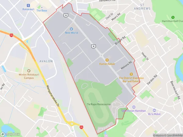
470 people live in Te Rapa, Hamilton, NZTe Rapa Suburb Area Map (Polygon)
Te Rapa Introduction
Te Rapa is a small town located in the Waikato region of New Zealand. It is known for its rich agricultural heritage and stunning rural landscapes. The town has a population of around 1,200 people and is situated on the banks of the Waikato River. Te Rapa is a popular destination for tourists who enjoy outdoor activities such as hiking, cycling, and fishing. The town also has a number of historic buildings, including the Te Rapa War Memorial and the Te Rapa Racecourse.Region
Major City
Suburb Name
Te RapaOther Name(s)
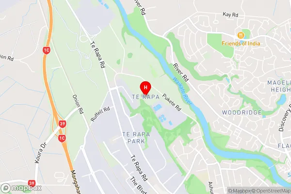
Avalon Industrial, Northgate Industrial, Pukete IndustrialTe Rapa Area Map (Street)
Local Authority
Hamilton CityFull Address
Te Rapa, Hamilton City, New ZealandAddress Type
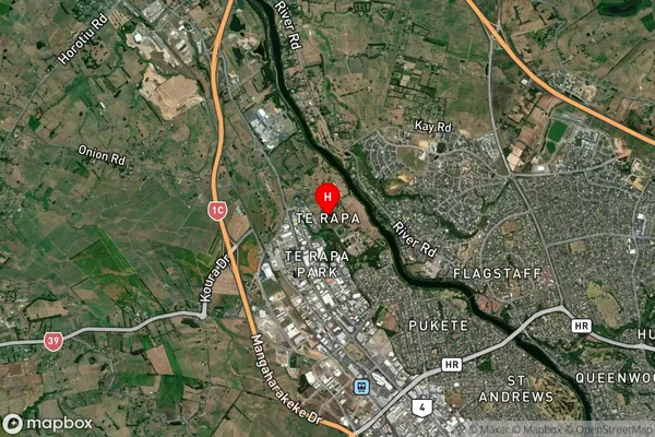
Suburb in City HamiltonTe Rapa Suburb Map (Satellite)
Country
Main Region in AU
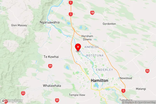
WaikatoTe Rapa Region Map
Coordinates
-37.7284022,175.2251511 (latitude/longitude)Distances
The distance from Te Rapa, Hamilton, Hamilton City to NZ Top 10 Cities