Te Puninga Area, Te Puninga Postcode(3380) & Map in Te Puninga
Te Puninga Area, Te Puninga Postcode(3380) & Map in Te Puninga, Matamata-Piako District, New Zealand
Te Puninga, Matamata-Piako District, New Zealand
Te Puninga Area (estimated)
29.3 square kilometersTe Puninga Population (estimated)
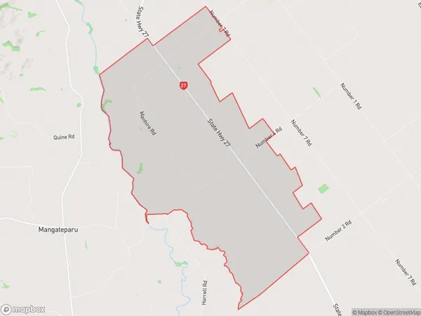
204 people live in Te Puninga, Waikato, NZTe Puninga Suburb Area Map (Polygon)
Te Puninga Introduction
Te Puninga, Morrinsville, Waikato, NZ, is a significant archaeological site with a rich history of human settlement. It is located on the southern shores of the Waikato River and is known for its rock carvings, which date back thousands of years. The site also features a marae, a meeting house, and a stone fortification.Region
Major City
Suburb Name
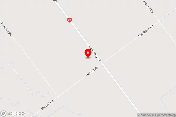
Te PuningaTe Puninga Area Map (Street)
Local Authority
Matamata-Piako DistrictFull Address
Te Puninga, Matamata-Piako District, New ZealandAddress Type
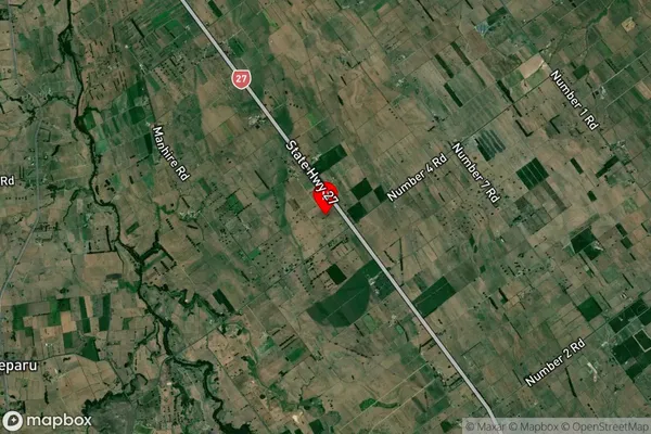
Locality in Town MorrinsvilleTe Puninga Suburb Map (Satellite)
Country
Main Region in AU
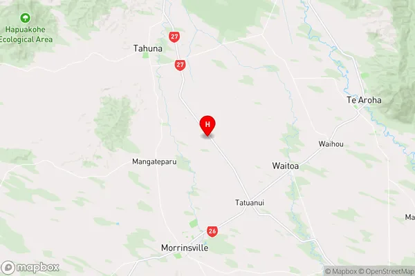
WaikatoTe Puninga Region Map
Coordinates
-37.5713336,175.5532193 (latitude/longitude)Distances
The distance from Te Puninga, Morrinsville, Matamata-Piako District to NZ Top 10 Cities